Coastal and Geotechnical Services  Coastal Zone Management - Landslide Management
ph: 0044 (0)1983 854865
rgmcinne
News and Current Issues
Coastal and Geotechnical Services is widely involved in conferences, forums and projects at the international, national and local levels.
We shall endeavour to keep this page up-to-date with information on our current news, issues and events.
COASTAL RISK PLANNING AND MANAGEMENT AT FAIRLIGHT COVE, EAST SUSSEX
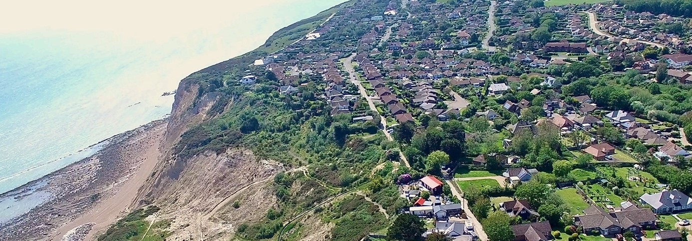
In 2021 Isle of Wight-based consultancy, Coastal & Geotechnical Services (C&G Services), was appointed by Rother District Council to investigate the challenges arising from coastal instability affecting the village of Fairlight near Hastings, East Sussex. Here the community has experienced ongoing problems ongoing problems that have led to a number of properties being lost as a result of cliff retreat.
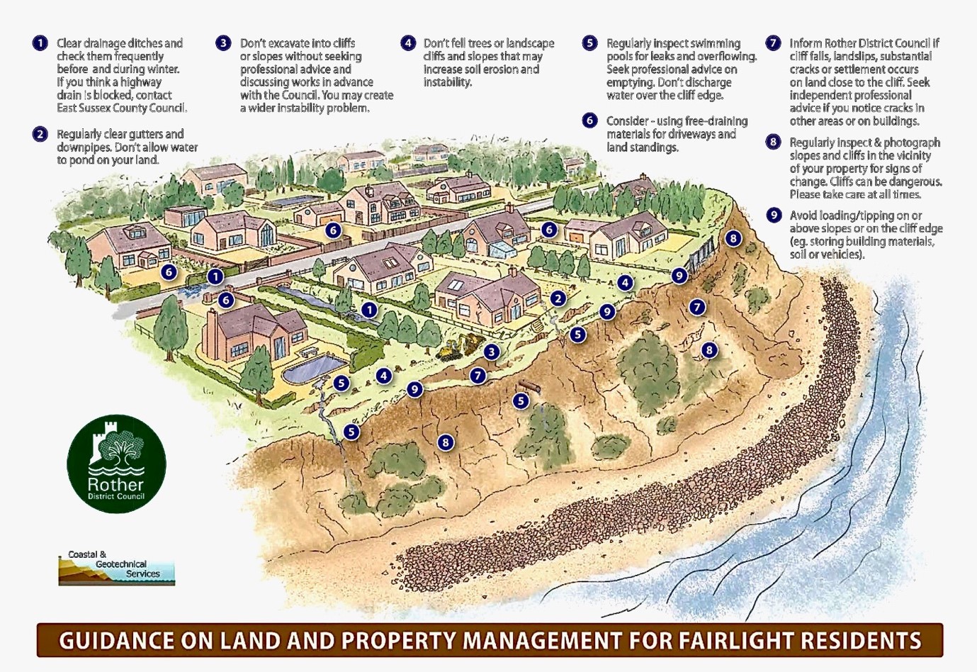
Recognising the potential for further erosion and instability the Council sought advice from C&G Services on the need to introduce more restrictive local planning policies in the village, aimed at preventing inappropriate development that might otherwise have adverse impacts on land stability. As a result, the Council has made two Article 4 Directions, which reduce permitted development rights on some land and properties adjacent to the coast.
In addition, C&G Services has prepared guidance for the Council and village residents on how homeowners may be able to reduce their own risks through practical land and property management measures.
Further details on these studies and the homeowners guide can be accessed on the links below:
Article 4 Directions at Fairlight Cove
Article 4 Directions at Fairlight Cove - Advice to Homeowners
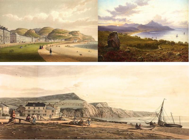
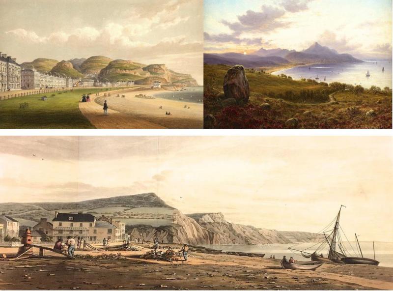
ART IN SUPPORT OF IMPROVED UNDERSTANDING OF CHANGING COASTAL ENVIRONMENTS
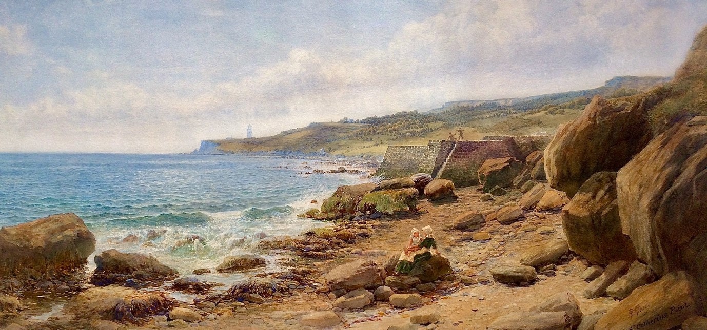
Samuel McCloy 'On the Coast near St Catherine's Point, Isle of Wight' 1878
What lessons can we learn from observations of changes that have affected England's coastal environments over the last 250 years? How and to what extent have our coastal landscapes been affected by both natural and human influences over that time? Sophisticated technologies now allow us to observe and monitor changing conditions within our coastal zones, but such innovative approaches have been introduced relatively recently, and there are few locations where systematic monitoring has been undertaken for more than thirty years.
Alongside these tools we can now also take particular advantage of a vast additional resource of historical imagery that is already available online, and which allows a much longer-term perspective to be gained of all aspects of coastal change. Such insight can better inform future planning and management of environmentally sensitive coastal frontages.
Using artworks dating back to the 1770s, which have been ranked in terms of their topographical accuracy, Professor Robin McInnes OBE and Chloe Stanford-Clark of Isle of Wight-based consultancy, Coastal and Geotechnical Services, have completed a detailed analysis of this subject working in partnership with Dr Elizabeth Hopley, Senior Specialist in Coastal Geomorphology, at Natural England.
The 260-page report includes over 270 colour artworks across twelve case study sites from around the English coast. The report has recently been published by Natural England and can be found at:
https://publications.naturalengland.org.uk/publication/5052271277375488
LANDSCAPE ART IN SUPPORT OF RIVER MANAGEMENT IN ENGLAND 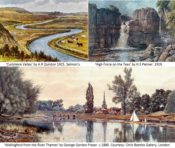
What lessons can we learn from observations of changes that have affected the river systems of England over the last 250 years? How and to what extent have these environments been affected by both natural and anthropogenic influences over that time? Increasingly sophisticated technologies now allow us to observe and monitor changing conditions. However, these tend to be relatively recent innovations and there are few locations across England where river changes have been observed and recorded systematically for more than fifty, or indeed one hundred years.
However, we can now take particular advantage of a vast additional resource of historical art imagery that is available online. Hundreds of thousands of artworks allow a much longer-term perspective to be gained of all aspects of physical and environmental change affecting rivers from source to sea. This new study, commissioned by the Environment Agency from Coastal & Geotechnical Services and partners, bridges the disciplines of science, geography and fine art to improve our understanding of river change through examination of nineteen case study sites across the country. The final study report can be downloaded below:
Case Study 5.3 - Somerset Levels & 5.4 The Dorset Stour;
Case Study 5.5 - Western Yar, 5.6 - Eastern Yar, & 5.7 The Sussex Rother;
Case Study 5.8 - River Arun & 5.9 River Medway;
Case Study 5.10 - River Thames;
Case Study 5.11 - River Great Ouse & 5.12 River Bure;
Case Study 5.13 - River Blyth;
Case Study 5.14 - River Severn;
Case Study 5.16 - River Wharfe, 5.17 - River Ure, 5.18 - River Tees, 5.19 - River Eden;
Chapters 6-8 & Appendices 1 & 2.

Art in Support of Improved Understanding
of the Changing Character of Exmoor National Park
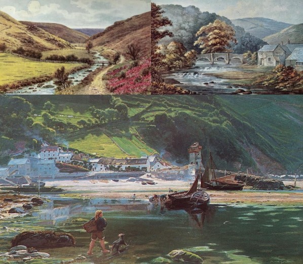

In June 2021 Professor Robin McInnes OBE, Managing Consultant at Coastal & Geotechnical Services, was commissioned by The Exmoor Society, in partnership with the Exmoor National Park Authority, to undertake a study investigating how historical artworks produced since the 1770s can inform understanding of the changing character of the National Park over time; this comprehensive study was completed in November.
About the Study
What lessons can we learn from observations of changes that have affected the landscape and character of Exmoor National Park over the last 250 years? How and to what extent has the National Park been affected by both natural and anthropogenic influences over that time? Alongside technical tools available for monitoring environmental change we can now also take advantage also of a vast additional resource of historical imagery comprising paintings, watercolours and prints spanning the period from 1770–1950 that is becoming increasingly available online, and which allows a much longer-term perspective to be gained of all aspects of change.
Such insight can helpfully inform both future planning and day to day management of environmentally sensitive inland and coastal frontages such as those found within the National Park.
The key study objectives were to inform policy-making and site management by providing an easily accessible art resource tool for use by scientists and practitioners to help inform decisions made by the National Park Authority and partner nature conservation bodies at a range of spatial scales. The findings support nature-based solutions to coastal and countryside management problems by drawing on artistic evidence of historical management practices, and more widely supporting ecosystem services, increased biodiversity and green recovery;
The study also provides a new, non-technical community engagement and educational tool that can easily illustrate processes of landscape change within the National Park and the challenges this can present over time. The results of this study will be of value to a range of organisations and individuals that have an interest in sustainable environmental management, planning, cultural heritage and nature conservation.
The Final Study Report can be viewed and downloaded at https://www.exmoorsociety.com or click on the sections below.
Coastal Erosion and climate change
Guidance for Policymakers, Planners and Stakeholders
Authors:
Professor Roger Moore - Jacobs
Professor Robin McInnes OBE - Coastal & Geotechnical Services
Jacobs has recently published guidance on Coastal Erosion and Climate Change co-authored by Professor Roger Moore of Jacobs and Professor Robin McInnes OBE of Coastal & Geotechnical Services, with contributions from external associates and Jacob's colleagues.
Following the recent publication of the IPCC Climate Change Report (AR6, 2021), projections reveal global sea level is rising and could add +2.5m to current levels by 2100. Extreme weather and storms are also increasing. These changes are causing severe impacts at the coast including nuisance flooding, erosion and shoreline transgression. The impacts and losses can be catastrophic and whilst coastal defences can protect assets for a limited time they commit authorities and private owners to rising costs for maintenance, repairs and renewals.
Professor Moore has been working alongside Professor Robin McInnes OBE on the preparation and illustration of new guidance on coastal erosion and climate change. Their guide looks at the implications of future climate change, sea-level rise and coastal erosion risks to global communities and infrastructure. It demonstrates that strategic coastal planning, management and adaptation are key to mitigating future losses and ensuring that coastal development, communities and infrastructure are resilient and sustainable in the long-term.
This 86-page illustrated non-technical guide summarises Jacobs' domain expertise in coastal planning and management aimed at government authorities, communities, developers and stakeholders; aligned to Jacobs' promise to create a more connected, sustainable world.
If you're interested in reading about several high-profile UK and international case studies, examples of the lessons learnt and successful approaches to sustainable coastal planning, management and adaptation from Jacobs' worldwide experience over the past three decades, then make sure you read it here:
www.jacobs.com/sites/default/files/content/file-uploads/CECCGfP_final.pdf
BEMBRIDGE SAILING CLUB
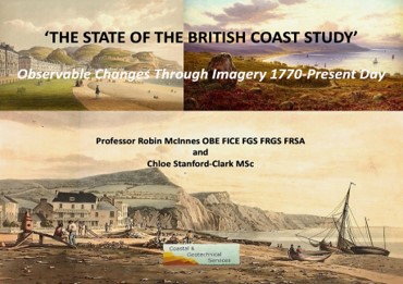
'THE STATE OF THE BRITISH COAST 1770-PRESENT DAY'
FINAL EXHIBITION
and
'DOWN TO THE COAST' - FINAL PROJECT EXHIBITION
Increasingly sophisticated technologies now allow us to observe and monitor changing conditions within our coastal zones, but alongside these tools we can now take advantage of the wisdom of hindsight by interrogating a vast additional resource of historical artworks that are becoming available online.
This year-long study by Professor Robin McInnes OBE and Chloe Stanford-Clark MSc. of Coastal & Geotechnical Services was completed in 2019 working in partnership with a wide range of coastal management and art-related organisations. Through the use of highly accurate artworks a methodology has been developed that allows an improved understanding of long-term coastal change that can inform coastal planning and management in the face of climate change. www.coastalandgeotechnicalservices.com
'Down to the Coast'
‘Down to the Coast’, which has been supported by the Heritage Lottery Fund through its Landscape Partnership Programme, is being delivered by the Isle of Wight Area of Outstanding Natural Beauty Partnership. Within this framework four projects have been designed and undertaken by Professor Robin McInnes OBE. They are entitled ‘Vistas & Panoramas of the East Wight Landscape’, ‘Fine Mansions & Fair Villas of the East Wight’, ‘Paradise Lost – The Lost Architectural Heritage of the East Wight’ and ‘The Most Painted Place – Bonchurch & the IW School of Artists 1830-1920’.
Each project has been delivered with the help of local arts and heritage organisations and school teachers and pupils from across the East Wight. For each project a Study Report, a sixteen page colour booklet, an exhibition and lectures have been provided.
This exhibition brings together the findings from each of the four projects and explains the lessons learnt and the legacy that the projects provide. www.downtothecoast.co.uk/library 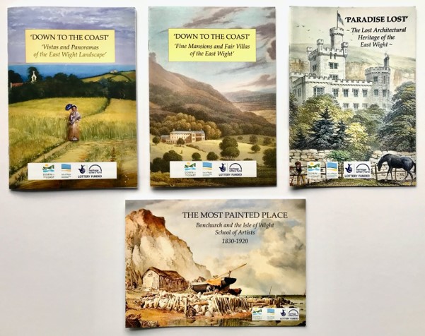
'State of the British Coast'
Final Report
The Technical Report prepared for this year-long study by Professor Robin McInnes OBE and Chloe Stanford-Clark MSc. can be downloaded below, along with poster 7 of the seven A1 colour posters that accompany the report; posters 1-6 are available upon request.
Click the links below:
Case Study 1 - North-East England
Case Studies 3 & 4 - South-East and Central Southern England
Case Study 5 - South-West England Part 1
Case Study 5 - South-West England Part 2
Case Study 6 - North-West England
Case Study 8 - Scotland West Coast
Case Studies 9 & 10 - Scotland North & East Coasts
Analysis, Conclusions, Recommendations & Appendices
'State of the British Coast'
Newsletter No. 2
This year long study will be completed in April 2019. View Newsletter No. 2 and the study brief below.
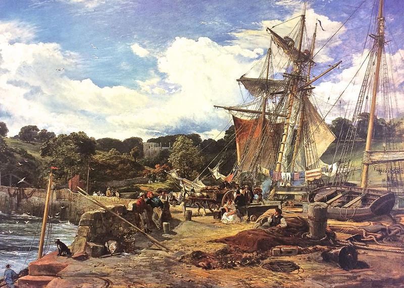
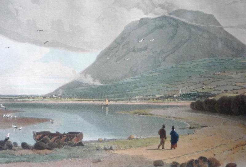
'The Pier Head, Aberdour, Fife'
Samuel Bough. 1865. Oil on canvas. Private Collection.
Image Courtesy: Patrick Bourne
The scene depicted has changed little and even today is easily recognisable. However, the intense activity has long gone. The topsail schooners drawn up to the pier plied between Aberdour and Leith carrying cargos that would have otherwise had to go by road via Stirling. Bough painted this type of subject many times in both oil and watercolour, large and small, but never more convincingly.
Click here to view Newsletter No. 2
'State of the British Coast'
A new year long study of the coastline of mainland Great Britain is commencing in June 2018. See Newsletter No. 1 below and download the Study Brief and information on 'The Watercolour World' project.
Click here to view 'State of the British Coast' Study Newsletter No. 1.
Click here to view 'State of the British Coast' Project Brief.
Click here to view 'The Watercolour World' Project Synopsis.
'Historic Watercourses'
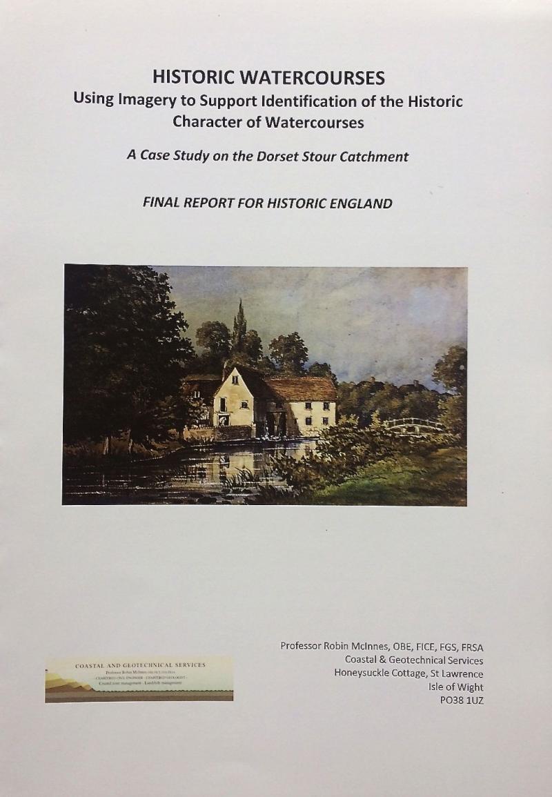 This report is now available.
Click here to view the Final Report.
Click here to view the Case Studies.
Click here to view the Analysis, Conclusions, Recommendations & Appendices.
'Historic Watercourses'
Click here to view Newsletter No. 1. October 2017
Robin McInnes new Visiting Professorship
 Robin McInnes, Managing Consultant of Coastal & Geotechnical Services, has been appointed Visiting Professor to the Department of Geography and Environment at the University of Southampton. Professor McInnes served previously as Visiting Professor to the Faculty of Civil Engineering & Environment from 2010-2014. He said that he was delighted at the prospect of being involved in the activities of Geography and Environment at the University where he gained his first degree in Geology (1968-1971).
Coastal Heritage at Risk
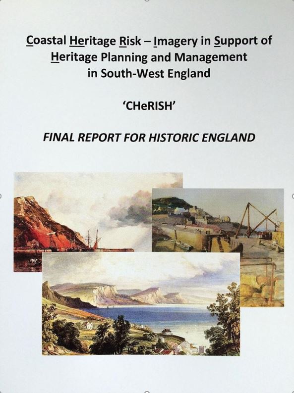
In January 2016 Historic England commissioned Coastal & Geotechnical Services to undertake a new study, CHeRISH (Coastal Heritage Risk - Imagery in Support of Heritage Management), which demonstrates how artworks, photographs and postcards from the period 1770-1950 can support the management of vulnerable sites on the coastlines of south-west England. The great strength of this imagery is its ability to illustrate in detail changes that have affected coastal heritage sites over a greatly extended time period.
A Threatened Coastal Heritage
The character of the coastline of south-west England has been influenced strongly by human activity over the last 10,000 years. A rich legacy of buildings and sites has resulted, including archaeological remains, military and coastal defences, harbour walls, monuments, lighthouses and piers. Collectively such features form the coastal historical environment. Particularly where the rocks are soft or the coastline unstable, such sites are becoming increasingly affected by marine erosion, landslides, flooding and the impacts of climate change.
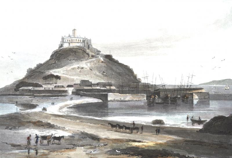
Long stretches of coast, containing a wide variety of sites, are undergoing rapid change. For example, sections of the coastlines of Dorset and south Devon with their soft rocks (for example east of Weymouth, near Lyme Regis, and Sidmouth), are eroding rapidly. Even sections of harder-rock clifflines, as between Hartland Point and Westward Ho! on the north Devon coast, can experience retreats of up to 50m in a single event. The settlements of Ilfracombe, Combe Martin, Lynmouth and Porlock are also at greater risk from flooding than they have been in the past. Indeed, the increasing ferocity of coastal storms is, over the next century, likely to have a visible impact on such Cornish harbours as Mullion, Charlestown and Mevagissey, as well as on exposed Cornish headlands, often the sites of promontory forts. Iconic heritage sites whose setting and future are at risk include the gun battery on the shoreline below Pendennis Castle, parts of Tintagel Castle on the north Cornwall coast, the causeway leading to St Michael's Mount in Cornwall, and the Garrison on St Mary's, Isle of Scilly.
Managing risks
This increased rapidity of change has driven developments in Government policy. It is vital that such policies give the same weight to sustaining the historic environment as they do to protection of people, property and the natural environment.
Historic England and its predecessorts have been active participants in this process, whether through publications (Murphy, 2014 and many others), policies regarding historic environment records, or the rapid coastal zone assessment surveys which have been carried out since the late 1990s.
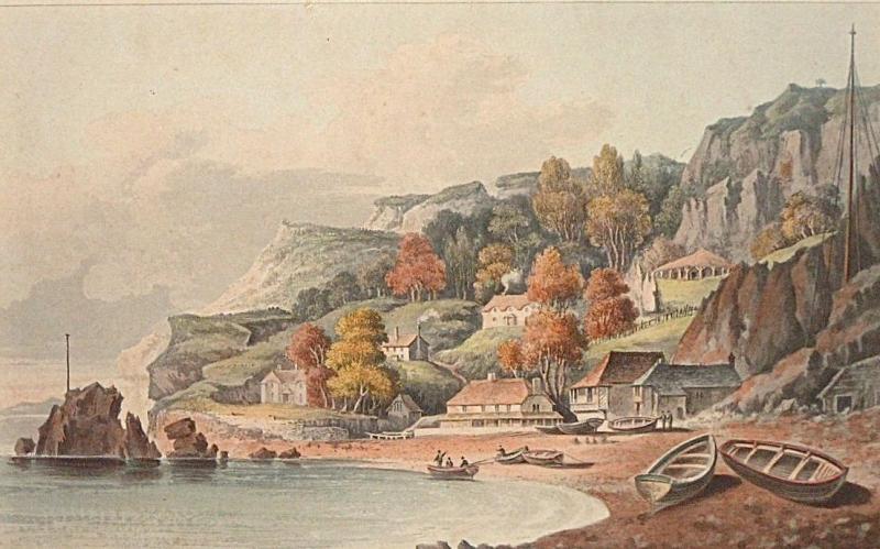
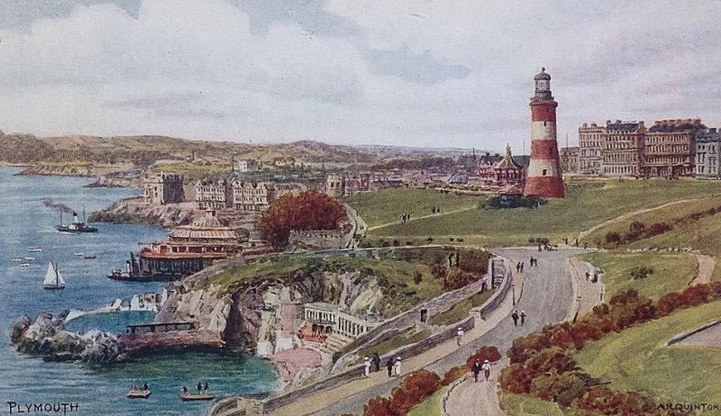
As a result, a range of tools is available to support understanding of coastal change and its impacts. However, there are few locations where accurate records of coastal change exist before the middle of the 20th century; indeed, aerial photography for much of the coastline only dates from the early 1940s. However, other images can improve our understanding of long-term coastal change and the resulting risks to some heritage assets. Paintings, watercolours, photographs and old postcards allow recognition of the scale and rate of coastal change over a much longer time frame than is normally considered by coastal scientists, planners and engineers. Such media enable assessments to be made of changes in morphology, land-use and development over the last 250 years, extending back long before the days of photography.
The CHeRISH project
The project reveals the potential of these images to provide information that can support the protection and management of historic sites around the coastline of south-west England. This has been achieved by identifying and assessing a large number of sites at risk or potentially at risk, as indicated in shoreline management plans, local and national historic environment records, and rapid coastal zone assessments. Imagery relating to these sites has been gathered and 23 case studies selected, illustrating how such historical images can support site management. CHeRISH has provided a list of artists who painted England's south-west coast, ranking their work in terms of its accuracy, so as to maximise the value of each image in support of the management of the historic environment.
The CHeRISH Final Report includes nearly 300 images (artworks and photographs) of heritage sites around the coastlines of Somerset, Dorset, Devon and Cornwall. Such illustrations can inform us of past conditions and, when compared with the site today, highlight changes that have taken place over time. The Final Report can be downloaded at http://cherish.maritimearchaeologytrust.org where an interactive map illustrating examples of artworks from across south-west England can be viewed. A series of illustrated lectures are also being planned at suitable locations over the coming months.
The CHeRISH project recommends that full advantage is taken of artworks and other images that depict the historic environment. These resources are underused as a record of change. The project guides readers to such images; it is hoped that the result will be invaluable.
Click here to view the Main Report.
Click here to view Case Studies 1-14.
Click here to view Case Studies 15-23 & Analysis.
Click here to view Guidance, Conclusions & Recommendations.
Click here to view the Appendices.
Historic England Commissions New Study to Support Heritage Risk Management in South-West England
Historic England has commissioned a new study, which will illustrate how historical images (paintings, watercolours, prints, old photographs and postcards), dating back to the late eighteenth century, can support the planning and management of heritage sites located on the coastlines of the south-west of England (Dorset, Devon, Cornwall and Somerset).
The ‘CHeRISH’ project (Coastal Heritage Risk - Imagery in Support of Heritage management in South-West England) will be undertaken by Coastal & Geotechnical Services, which has a particular experience in both the interpretation of such historical images as well as of coastal risk planning and management.
The ten month study aims provide improved data and information that will support the management of historical sites located around the coastline of south-west England. Linking closely with the Historic Environment Records (HERs) and the Shoreline Management Plans (SMPs) in the south-west the study will take advantage of a wealth of unused or under-used images contained in both public and private collections, to provide better information on the rate, scale and potential impacts of long-term coastal change on both surface and buried heritage sites along shorelines and cliff tops.
Project Manager from Coastal & Geotechnical Services, Robin McInnes OBE said ‘For each part of this coastline case study examples will illustrate how this approach can provide additional information to support management and good practice for coastal heritage sites. Such images will allow us to recall how such culturally important sites have been artistically represented in the past, and they can illustrate the various approaches that have been taken to try and manage vulnerable sites over the last two centuries or where the approach has been unmanaged’.
The study results will include a list of those artists and their works, which have been ranked in terms of accuracy, and the value of the contribution they make towards informing coastal heritage management. A web-based map will be created allowing easy access to the study locations and artworks thereby avoiding time-consuming research by others in the future. A series of case studies will illustrate how historical artistic and photographic images may be applied most effectively by a wide range of users including coastal engineers, planning officers, countryside and heritage managers and researchers.
Can you assist the CHeRISH project? We are searching for more highly detailed coastal oil paintings and watercolours (1770-1950), which show heritage structures (eg: piers, lighthouses, old limekilns, harbour walls, industrial buildings, military defences and other archaeological features) or which illustrate the progressive development of the coastal towns and villages since the late eighteenth century. If you think you have an image that may be of interest please contact Robin McInnes (rgmcinnes@btinternet.com).
Institution of Civil Engineers Coastal Management Conference, Amsterdam, September 2015
The 8th ICE Coastal Management Conference will be held in Amsterdam, Netherlands, from 7th-9th September. Taking place every four years the conference series brings together engineers, scientists and coastal management professionals from across the world. The event is renowned for its focus on current issues, research and practical applications. See www.ice.org.uk/events.
International Association of Engineering Geology Congress IAEG XII Turin 2014
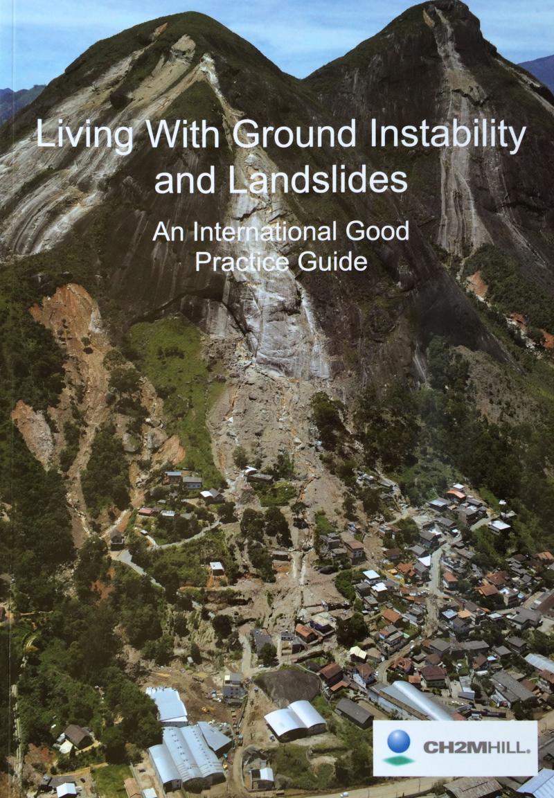
Professor Robin McInnes of Coastal & Geotechnical Services and Professor Roger Moore of CH2MHILL attended the IAEG 50th Anniversary Congress in Turin, Italy, in September 2014 in order to launch their new publication 'Living with Ground Instability and Landslides - An International Good Practice Guide'.
The guide was commissioned from Coastal & Geotechnical Services by CH2MHLL and has been endorsed by the United Nations International Strategy for Disaster Reduction in Geneva. The comprehensively illustrated guide will now be distributed to stakeholders with an interest in ground instability and landslides across the world. At the IAEG conference the guide was commended to the conference by Professor Scott Burns, Professor of Geology at Portland State University, USA.
For more information, contact rgmcinnes@btinternet.com or visit www.coastalandgeotechnicalservices.com.
Southern England Local Partnership European Congress University of Portsmouth 2014
On 9th September Southern England Local Partners (SELP), the EU affairs network for Southern England, held its 8th Annual European Congress, which was hosted by the Centre for European and International Studies Research at the University of Portsmouth. The event brough together 50 representatives from local authorities, universities, businesses and Local Enterprise Partnerships (LEPs) all interested in enhancing understanding of the European dimension of their work.
Professor Robin McInnes OBE of Coastal & Geotechnical Services was invited to join the panel of experts for a plenary session and lively debate covering a broad range of topics including the forthcoming Interreg V Programme and working with EU partners to encourage the strengthening of the UK's influence in pursuing national interests on the global stage.

Launch of the Interreg IV 2Seas Programme Project Arch-Manche
With financial support from the EU INterreg Programme the Arch-Manche project, which was led by the Hampshire & Wight Trust for Maritime Archaeology, was launched in Southampton on 22nd August 2014. The project sought to advance our understanding of the scale and rate of long-term coastal change by assessing a range of potential, currently under-used resources including archaeology, palaeo-environmental data, works of art, maps, photographs, was well as historical literature accounts.
Working with partners in France, Belgium and the Netherlands the project outputs included the ranking of a large dataset of historical images to assess their value in supporting understanding of coastal change. In addition the project delivered a specialist database and linked GIS analysis to further develop understanding in this area.
The assessment and interpretation of historical artworks was undertaken by Coastal & Geotechnical Services on behalf of the Hampshire & Wight Trust.
For more information visit www.archmanche.hwtma.org.uk. 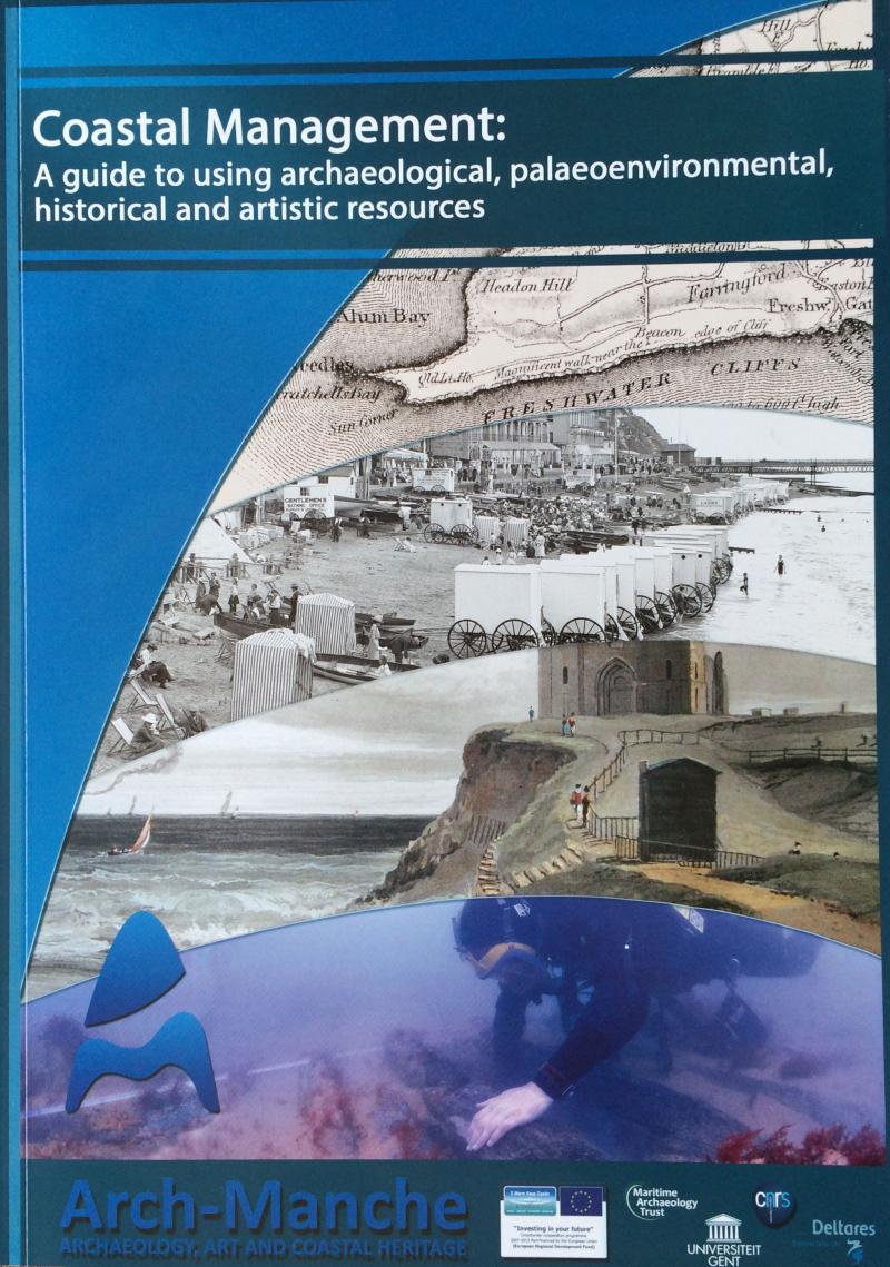
Aggregate Dredging and the Marine Environment
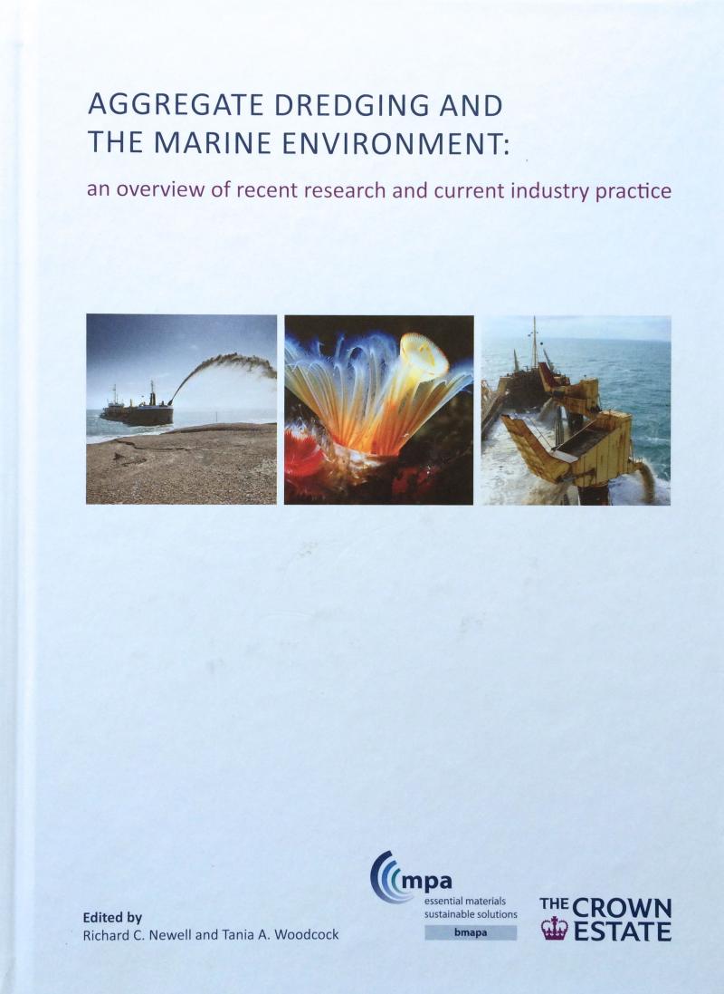
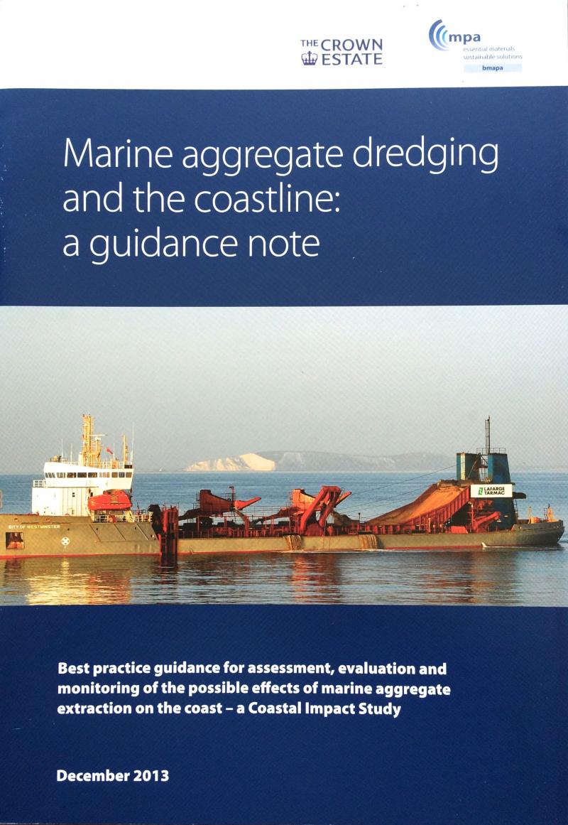
The Crown Estate and the British Marine Aggregate Producers Association (bmpa) have collaborated over the preparation of two new well illustrated publications aimed at improving understanding and awareness of issues relating to aggregate dredging and the marine environment.
The Crown Estate has published Aggregate Dredging and the Marine Environment, which provides an overview of recent research and current industry practice. Edited by Richard C. Newell and Tania A. Woodcock, and with ten chapters written by experts in their fields, this well-illustrated 163 page hardback publication provides a wealth of useful information. For further details visit www.thecrownestate.co.uk or www.bmapa.org.
The second publication Marine Aggregate Dredging and the Coastline: A Guidance Note sets out best practice for the assessment, evaluation and monitoring of the possible effects of marine aggregate extraction on the coast and the preparation of a coastal impact study. This 51 page guide includes a series of very clear explanatory diagrams and photographs that will be of value to both technical and non-technical users and stakeholders. Visit www.thecrownestate.co.uk or www.bmapa.org.
Coastal & Geotechnical Services was commissioned by The Crown Estate to assist the national dissemination of the two publications through a series of illustrated presentations to the Coastal Groups of England and Wales. The dissemination was undertaken between April-June 2014.
Launch of the Interreg Project 'Coastal Communities 2150 and Beyond'
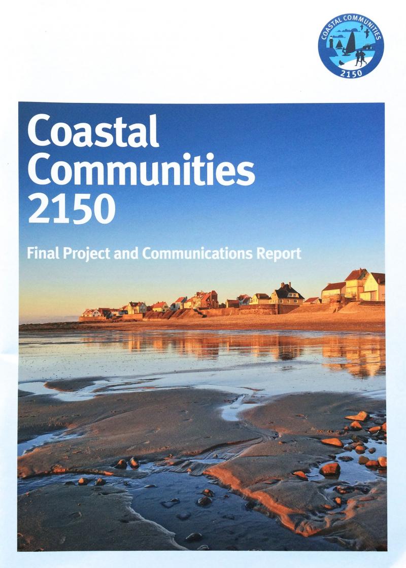
The CC2150 project, which received financial support from the European Union Interreg IV A 2Seas Programme, was launched in Brighton on 12th February 2014. The purpose of the three year project was to increase awareness of long-term coastal change amongst pilot local communities. The project developed a range of communication tools and guidance suitable for application across the European Union. In particular the project established approaches for successful communication with stakeholders, as well as creating a network of European partners allowing the sharing of information and best practice.
The Environment Agency, as lead partner for the project, commissioned Coastal & Geotechnical Services to assist with development of the project concept and with the drafting of the overall proposal.
Visit www.cc2150.eu to download all the project reports.
'Art and Coastal Change in Northern Ireland' Study
The Crown Estate has commissioned Professor Robin McInnes of Coastal & Geotechnical Services to undertake a study examining how art can assist understanding of long-term coastal change in Northern Ireland. The study follows the completion of similar reports for East Anglia, England, Wales and Scotland (in press).
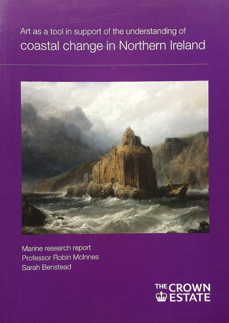 The Study will investigate how historical landscape paintings, watercolour drawings and prints (1770-1920) can support existing technologies in terms of informing us of the rate, scale and pace of coastal change. The study will cover the coastline from Derry, County Londonderry on Lough Foyle in the north-west, along the dramatic Antrim coastline and south to Carlingford Lough.
The study was completed in Autumn 2013. This report and the earlier reports call all be downloaded from The Crown Estate website at www.thecrownestate.co.uk.
Launch of 'Art and Coastal Change in Scotland' report
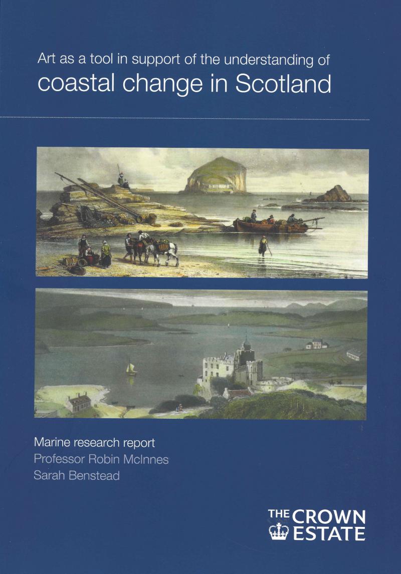
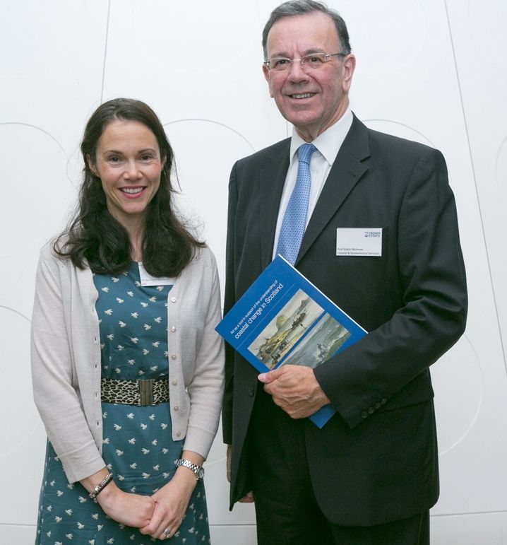 The report author Professor Robin McInnes OBE with Dr Hermione Cockburn of BBC 'Coast' at the launch.
Launch of 'Art and Coastal Change in Wales' report
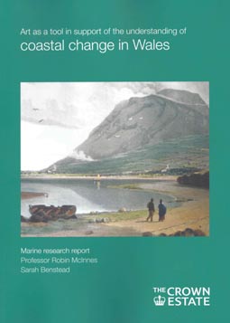
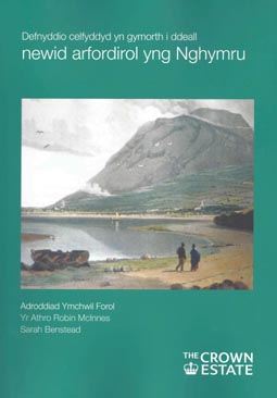
A high profile launch of The Crown Estate report 'Art as a tool in support of understanding of long-term coastal change in Wales' took place in the Welsh Parliament building, Senned, on 16th July 2013.
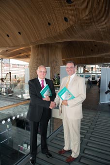
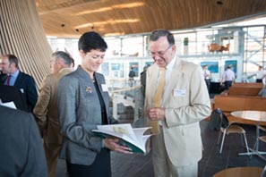
Over 100 guests attended a reception highlighting the recent activities of The Crown Estate in Wales, which was hosted by Alison Nimmo, Chief Executive of The Crown Estate.
The 107 page bi-lingual report by Professor Robin McInnes and Sarah Benstead is available a a well-illustrated hard copy or it can be viewed on The Crown Estate website (www.thecrownestate.co.uk). The report was received with considerable interest by those attending and wider dissemination around the welsh coast will take place shortly.
ICE Presidential Visit to the Isle of Wight
The President of the Institution of Civil Engineers, Professor Barry Clarke FICE FGS made a visit to the Isle of Wight on 21st June 2013.
The President's group was met by Professor Robin McInnes of Coastal and Geotecnical Services at Freshwater Bay where he described the coastal and geological challenges faced along the south-west coast of the Island. The visiting party had the opportunity to view the sites of previous highway stabilization works at Afton Down and the realignment at Shippard's Chine as well as the proposed site for work at Brook before continuing to Blackgang viewpoint where Professor McInnes discussed the erosion issues.
After journeying through the Undercliff, where works are proposed as part of the Highways PFI contract, the guests took lunch at the Royal Hotel, Ventnor. After lunch Professor McInnes provided a more detailed overview of coastal policy on landslides in the face of climate change.
Professor McInnes presented Professor Clarke a copy of his 'Book of the Isle of Wight Coast' to celebrate the visit.
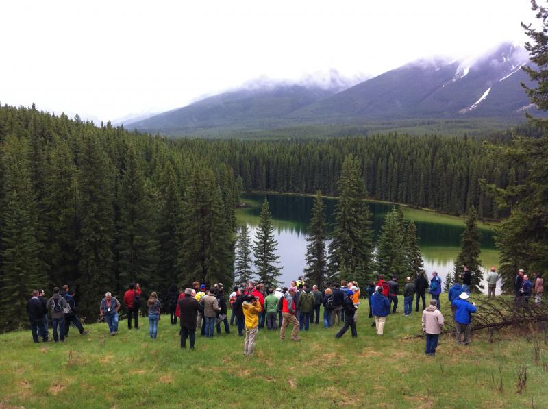
International Symposium on Landslides, Banff, Canada
Nearly 400 landslide specialists from across the world gathered at the Banff Fairmont Springs, Canada to participate in the 11th International Symposium on Landslides (ISL) from 2nd-8th June 2012. The theme of the conference was ‘Landslides and engineered slopes - Protecting Society through Improved Understanding’.
Professor Robin McInnes of Coastal & Geotechnical Services presented a paper entitled ‘Landslides and climate change - innovative approaches to planning policy and stakeholder engagement in England’; the paper was co-authored by Professor Roger Moore of Halcrow. The paper highlighted the opportunities for transfer of approaches currently being developed in England for the planning and management of coastal landslides to communities affected by instability problems in mountainous areas across the world with a consequent reduction in risk to life and property.
Professor McInnes also attended the International Joint Technical Committee on Landslides and Engineered Slopes (JTC1) which was convened during the conference. Ann all-day technical field visit was made to a number of landslides in the vicinity of Banff, including Norway, Vermillion Lakes, Moraine Lake and Lake Louise.
Art and Coastal Change in Wales study commissioned by The Crown Estate
The Crown Estate has commissioned Professor Robin McInnes of Coastal & Geotechnical Services to undertake a study into how historical works of art (landscape paintings, drawings and prints from 1770-1920) can assist understanding of long-term coastal change in Wales. The study follows the publication by The Crown Estate of ‘A Coastal Historical Resources Guide for England’ in 2011 and two regional studies of the East Anglian coast in 2010 and the Hampshire and Isle of Wight coasts in 2008.
The study is being undertaken by Professor McInnes and art historian, Sarah Benstead FRSA. The final report is likely to be published in Spring 2013.
Art and Coastal Change in Scotland commissioned by The Crown Estate
The Crown Estate has commissioned Professor Robin McInnes of Coastal & Geotechnical Services to undertake a study into how historical works of art (landscape paintings, drawings and prints from 1770-1920) can assist understanding of long-term coastal change in Scotland. The study follows the publication by The Crown Estate of ‘A Coastal Historical Resources Guide for England’ in 2011 and two regional studies of the East Anglian coast in 2010 and the Hampshire and Isle of Wight coasts in 2008; a further study of the coast of Wales is also underway.
The study is being undertaken by Professor McInnes and art historian, Sarah Benstead FRSA. The final report is likely to be published in Summer 2013.
New Guide to 'Cliff Erosion and Instability Management in Great Britain'
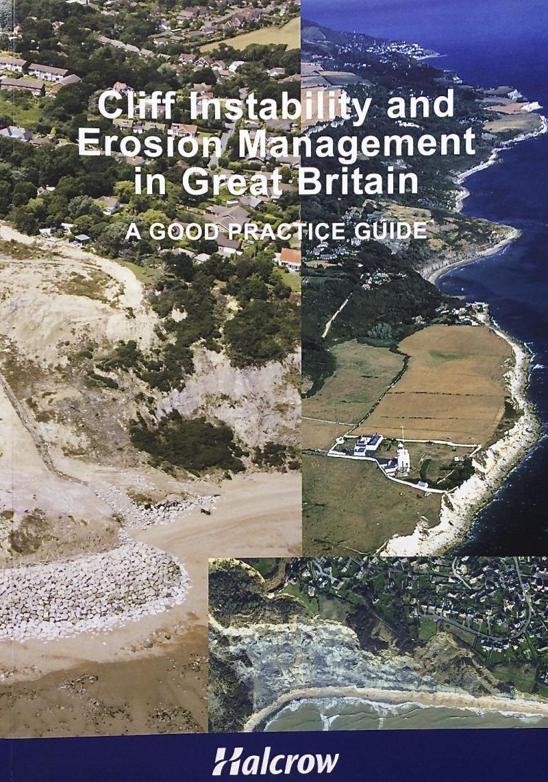 A new eighty-eight page guide entitled 'Cliff erosion and instability management in Great Britain - a good practice guide' was published in November 2012. The well illustrated guide, which was sponsored by Halcrow and Coastal & Geotechnical Services, was written by Professor Robin McInnes OBE and Professor Roger Moore.
The Guide aims to provide practitioners and decision-makers with a useful summary account of the issues and administerative framework for cliff instability and erosion management in Great Britain. The Guide builds on the lessons learnt from the past and from specific casework performed by Halcrow and Coastal & Geotechnical Services in recent decades. Case study examples from the UK and overseas illustrate success stories as well as best practice.
The Guide has been launched at regional meetings hosted by the Coastal Groups of England and Wales as well as at the Institution of Civil Engineers Coastal Management Conference held recently in Belfast.It will be launched to the international community at the Inbternational Symposium on Landslides in Banff, Canada in June 2012. Copies of the report can be obtained from Coastal & Geotechnical Services.
'A Coastal Historical Resources Guide for England'
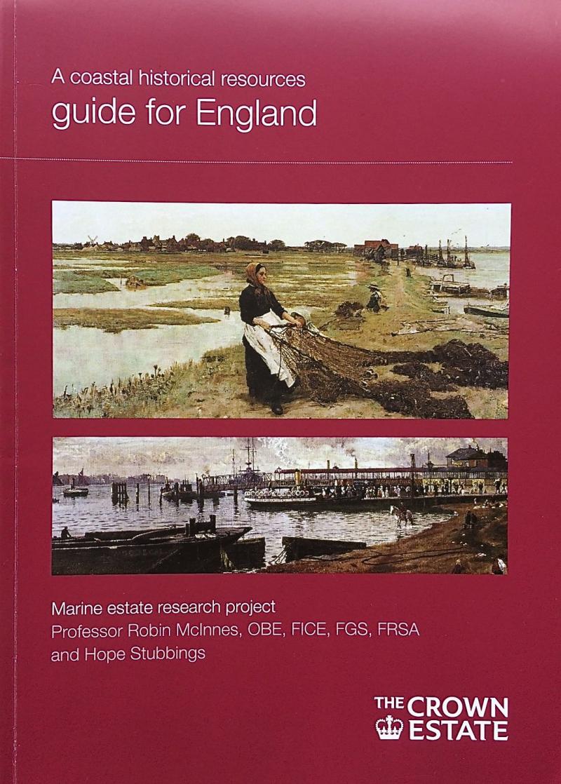 The 'Coastal Historical Resources Guide for England', which was sponsored by The Crown Estate, has been disseminated through a series of regional presentations to coastal users following the launch event at the 'Coastal Futures' conference in London last year. In addition, copies of the Guide have been sent to coastal local authorities, museums, galleries, records offices and other stakeholders. The final report can be viewed and downloaded from The Crown Estate website at http://www.thecrownestate.co.uk/mrf_general_studies
'Art and Coastal Change in East Anglia'
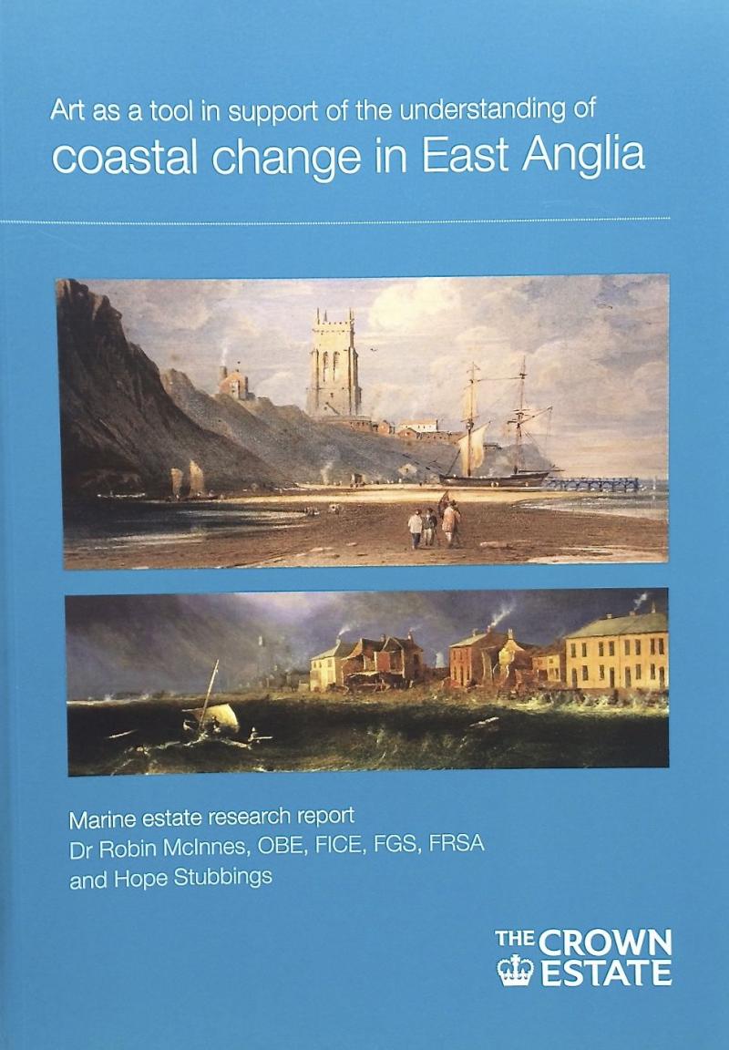 Following the very successful launch events in Ipswich, Southwold and Aldeburgh in Suffolk, The Crown Estate sponsored guide to 'Art and coastal change in East Anglia' will be launched in Norfolk at a conference in Norwich in the Spring. Professor Robin McInnes OBE, the author of the report, will be presenting the findings at the 'Art and the sea conference' at the University of East Anglia Sainsbury Centre on Saturday 31st March. The report can be viewed and downloaded from The Crown Estate website at http://www.thecrownestate.co.uk_general_studies
SCOPAC report 'ACCESS - Adapting to Coastal Change along England's Southern Shoreline'
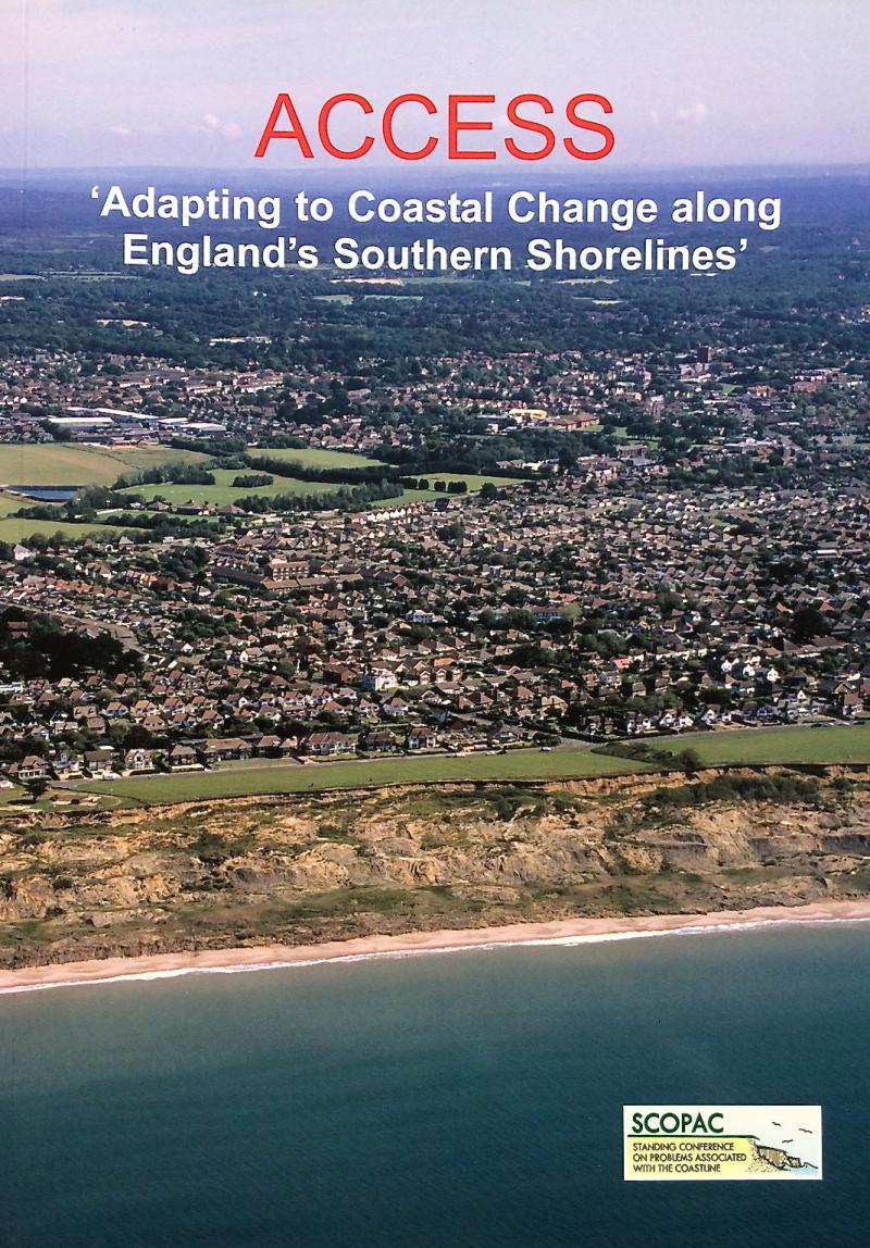 Following the launch of the 'ACCESS' report at the SCOPAC (Standing Conference On Problems Associated with the Coastline) conference event at the National Oceanography Centre, University of Southampton in November 2011 copies of the report are now available. The sixty-four page, well-illustrated report illustrates approaches to adaptation to coastal climate change through examination of eleven coastal change 'hotspots' along the coastal frontage between West Dorset and West Sussex (www.scopac.org.uk) .
Launch of The Crown Estate Study of 'Art as a Tool in Support of the Understanding of Coastal Change in East Anglia' a success!
A series of events held in Ipswich, Southwold and Aldeburgh, Suffolk in February 2011 saw the launch of the new study commissioned by The Crown Estate to Coastal and Geotechnical Services.
On the 2nd February, evening lectures presented by both Professor Robin McInnes of Coastal and Geotechnical Services and Kate Giles on the findings of the study were well received, demonstrating how art is an underused tool in understanding coastal change.
An evening of performances including poetry, drama and music on the 3rd February was praised for its innovative approach to bringing in an array of people from different backgrounds to discuss and learn about the changing coastline and how it may be portrayed through art.
Concluding the weekend's events, Coastal Question time on the 4th of February featured a panel debate, including Professor Robin McInnes and figures from Suffolk coast organisations.
For further feedback, including comments from the audience, performers and organisers at each event, please click here.
Location announced for the next Institution of Civil Engineers Coastal Management Conference - Belfast 2011
The next ICE Coastal Management Conference will be held in Belfast in November 2011. The conference, first held in the 1980s, follows a successful format which has been chaired by Professor Robin McInnes of Coastal and Geotechnical Services for the last two conferences, held in Brighton in 2003 and Cardiff in 2007. The conference will cover an extensive range of subjects, including policy, engineering, management and social and environmental implications.
For information on Belfast 2011, or other ICE events, please visit the ICE website.
Global Forum on Coasts, Oceans and Islands, Paris 3rd–7th May 2010

The Global Forum was established in 2001 to help the world’s governments to highlight issues relating to oceans, coasts and Small Island Developing States (SIDS) on the agenda of the 2002 World Summit on Sustainable Development. The Global Forum encourages cross-sectoral dialogue between governments, NGOs, international organizations and the private and scientific sectors. It supports constant advocacy for oceans at the highest political levels and supports an eco-system-based and integrated approach to oceans governance at national, regional and global levels.
The very successful Paris Conference, held at UNESCO, followed on from the Ocean’s Day held at the Copenhagen Climate Change Summit last December had the three themes of: Ensuring survival, Preserving Life and Improving Governance. The conference, attended by 870 delegates, comprised a Policy, Science and Technical Forum, High Level Roundtables and Working Group Meetings and a Policy Conference. The conference co-Chairs were Dr Biliana Cicin –Sain, head of the Global Forum, Laurent Stefanini, Ambassador for the Environment, France and Dr Wendy Watson Wright, Assistant Director-General of UNESCO.
Dr Robin McInnes and Ms Hope Stubbiings of Coastal and Geotechnical Services attended the conference and arranged a session on ‘Adaptation to coastal climate change’. The speakers were Dr Robin McInnes (Chairman), Andrew McNab, Director of Sustainable Development at Scott Wilson, Natasha Carpenter, Coastal Engineer from Royal Haskoning, Stacia Miller of the Enviroment Agency and Peter Barter who is Coastal Director at Halcrow, UK; Coastal and Geotechnical Services was a Collaborating Organisation for the conference.
Visit: www.globaloceans.org.
Oceans Day at Copenhagen – December 14th 2009
Oceans Day was held during the United Nations Convention on Climate Change in Copenhagen. The purpose of the event was to illustrating the implications of the summit for coasts, oceans and islands as well as highlighting the direct link between climate change, the health of the oceans and the need to support adaptation and mitigation actions to reduce impacts on coastal communities and ocean resources. Dr Robin McInnes of Coastal and Geotechnical Services was invited to attend the event and to hear speeches from Professor Jacqueline McGlade, Executive Director of the European Environment Agency, Dr Biliana Cicin-Sain, of Global Forum for Oceans, Coasts and Islands, Dr Fadel Muhammad, Minister of Marine Affairs and Fisheries, Indonesia and Rt. Hon. Hilary Benn MP, Secretary of State, Defra, UK; the keynote address was made by HSH. Prince Albert II of Monaco.
Coastal Erosion and Art/ La Côte Anglaise s’Erode sur les Toiles
A study undertaken by Dr Robin McInnes of Coastal and Geotechnical Services, supported by The Crown Estate – Caird Fellowship 2008 was highlighted in the December 2009 Copenhagen Summit edition of the French sustainable development journal ‘Terraeco’. The report introduced French-speaking readers to the study, which examined how landscape paintings (1770-1920) could assist understanding of long-term coastal change along the pilot study coastlines of the counties of Hampshire and the Isle of Wight in southern England.
www.thecrownestate.co.uk/mfr_general _studies
‘Severn Estuary and Climate Change’ EU Interreg IVb ‘IMCORE’ project

Dr Robin McInnes and Ms Hope Stubbings of Coastal and Geotechnical Services attended a workshop under the auspices of the European Union Interreg IVb ‘IMCORE’ project entitled ‘The Severy Estuary and Climate Change: State of the Science and Policy Update’ in Bristol. The IMCORE project is promoting a trans-national, innovative and sustainable approach to climate change adaptation along the coasts of North-West Europe. Dr McInnes made a presentation to scientists attending the workshop on ‘The climate change science needs of local government’. He considered what kind of science data or information do different users require, and how can local government obtain the information it requires? He concluded that:-
- There is a wealth of scientific data and information available but the findings are often poorly disseminated and targeted insufficiently towards local authorities.
- New, increasingly refined data and tools e.g. UKCP09, Strategic Monitoring, SMPs will help to fill some of the data/information gaps.
- Improved identification of climate change coastal hot spots is required e.g. SCOPAC ‘ACCESS’ Study.
- More research is required into the impacts of extreme events on cliffs, coastal landslides and low-lying flood-prone coastlines.
- A guide to assist local authority staff in locating new research data/information should be prepared nationally and updated continuously.
Engineering Group for the Geological Society Forum – November 2009
The Engineering Group for the Geological Society held a special forum at the Royal Geographical Society, London on the 25th November 2009. The themes included ‘Engineering Geology and Planning Constraints’ and ‘Land Evaluation and site assessment’. Speakers included Dr Brian Marker OBE, Dr Clive Edmonds, Dr Robin McInnes OBE, Dr Alan Thompson and Jane Poole, Dr David Brook OBE, Peter Bide, Professor Martin Culshaw, Dr Mike Winter and Professor Jim Griffiths.
www.geolsoc.org.uk/engineering
Hampshire and Wight Trust for Maritime Archaeology Welcomes Dr Robin McInnes as new chairman – October 2009
HWTMA said a fond farewell to chairman Maldwin Drummond and welcomed Dr Robin McInnes as the new chairman.
Mr Drummond chaired the Trust through a significant period of growth and change from 2004 to the present day. Director of Hampshire and Wight Trust for Maritime Archaeology Garry Momber said: "Maldwin's valuable support and passion for the Trust was evident through his deep and sustained interest in all our activities from the moment he came on board to the moment he left. A champion of environmental history, Mr Drummond saw the launch of our Alum Bay Dive Trail, the Secrets of the Solent Education pack, Children's Activity Days and the Trust mascot, the colourful Professor Archie ‘O' Logy to name just a few of our activities. Mr Drummond has worked tirelessly and with passion to help the Trust raise our profile locally and nationally and we thank him for his commitment and much valued support. We are reassured that he will continue his interest in all our work in the future."
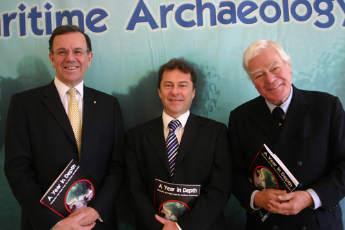 Mr Momber said: "The Trust warmly welcomes Dr McInnes who is a chartered geologist and civil engineer with over thirty-five years experience in coastal and landslide management at local, national and international levels." Dr McInnes gained a BSc Honours degree in Geology at Southampton University and a PhD in Coastal Zone Management at the University of Portsmouth. He has always maintained a keen interest in archaeology has led a number of international research projects bringing together the disciplines of geology, coastal engineering, archaeology and palaeo-environmental studies. Through his work as technical officer chairman of ‘The Standing Conference On Problems Associated with the Coastline' (SCOPAC), over the last fifteen years he has worked closely with Trust officers on several valuable research projects. After working for many years for Isle of Wight local authorities Dr McInnes formed his own consultancy, Coastal and Geotechnical Services, in 2007; his clients include the European Commission, the Council of Europe, The Crown Estate and many local authority and overseas clients. His is a member of the International Joint Technical Committee for Landslides (JTC1). Dr McInnes has written over forty technical papers on coastal-related topics and has arranged five international conferences relating to coastal and ground instability issues. He has also written fifteen books relating to local history and fine art. He is a Fellow of the Institution of Civil Engineers, a Fellow of the Geological Society and a Fellow of the Royal Society of Arts. In 2006 he was awarded the OBE by The Queen for ‘Services to the coast'.
‘Art and Long-term Coastal Change’ at Littoral 2008, Venice
A paper entitled ‘Art as a tool to assist understanding of long-term coastal change’ was presented by Dr Robin McInnes at the Littoral 2008 conference in Venice in November 2008. The paper was based upon his research funded by The Crown Estate – Caird Fellowship 2008 on ‘Art and coastal change along the coastlines of Hampshire and the Isle of Wight’ in Southern England. The paper was co-authored with Dr Jonathan Potts of Portsmouth University and Lindsey Bates of Chichester District Council.
http://www.thecrownestate.co.uk/mrf_general_studies
Cliffs Symposium – Loughborough University – 5th February 2008
‘Cliffs’ is an EPSRC-funded network based at Loughborough University bringing together academics, scientists, consultants and stakeholders with the aim of improving forecasting of slope instability in the context of climate change.
Speakers included:
Geoff Jenkins - MetOffice
Neil Dixon - Loughborough University
Roger Street - UKCIP
Stephanie Glendinning - University of Newcastle
Michelle Colley - acclimatise
Derek Clarke - University of Southampton
Mike Winter - TRL Scotland
David Shilston - Atkins Geotechnics
Fleur Loveridge - MottMacdonald
Martin Culshaw - British Geological Survey
Roger Moore - Halcrow
Robin McInnes - Coastal and Geotechnical Services
Tom Dijkstra - Loughborough University
It is a challenging task to quantify the variations in slope stability that result from changes in climate conditions. This symposium disseminated the most important outcomes from four highly successful CLIFFS workshops that addressed themes relevant to climate change impact forecasting for slopes in the UK. This unique event brought together key speakers and a broad audience of researchers and stakeholders from many different disciplines. Some 65 delegates attended the symposium and their feedback was very positive.
http://www.hwtma.org.uk/index.php?mact=News,cntnt01,detail,0&cntnt01articleid=70&cntnt0returnid=15
International Forum on Landslide Disaster Management – December 2007
The 2007 International Forum on Landslide Disaster Management was held in Hong Kong from 10 to 12 December 2007. It was organized under the auspices of the Joint Technical Committee on Landslides and Engineered Slopes (JTC-1) of the ISSMGE, ISRM and IAEG. The Forum was also be one of the key activities marking the 30th Anniversary of landslide disaster management in Hong Kong.
The Forum, which was by invitation only, was organised by the Geotechnical Engineering Office (GEO) of the Civil Engineering and Development Department (CEDD) of the Government of the Hong Kong Special Administration Region (HKSAR), the Hong Kong Geotechnical Society (HKGES) and the Geotechnical Division of the Hong Kong Institution of Engineers (HKIE).
The Forum comprised an intense session for about 60 invited experts from different countries to share experiences and thoughts on the state-of-the-art and best practices. It addressed focused subjects of direct relevance to landslide disaster management. Highlights of the Forum include presentation of country reports, and the United Kingdom report was presented by Dr Mike Winter (TRL) and Dr Robin McInnes OBE (Coastal and Geotechnical Services); the third author of the report, Professor Edward Bromhead (Kingston University) could not attend. The Forum included many of the members of the Joint Technical Committee on Landslides and Engineered Slopes (JTCI) for which the UK representatives are Professor Bromhead, Dr Brian Marker OBE and Dr Robin McInnes OBE.
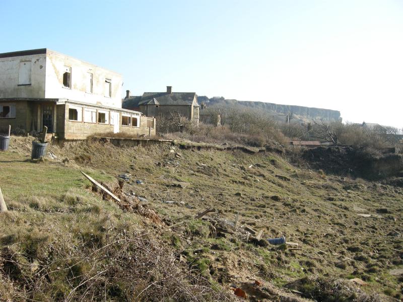
Abandoned houses at Blackgang, Isle of Wight affected by landslip
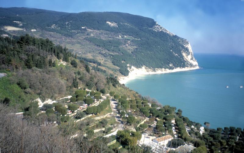 Sirolo, East coast of Italy
Copyright 2018 Coastal and Geotechnical Services. All rights reserved.
ph: 0044 (0)1983 854865
rgmcinne
