Coastal and Geotechnical Services  Coastal Zone Management - Landslide Management
ph: 0044 (0)1983 854865
rgmcinne
Research and Publications
Coastal and Geotechnical Services is actively involved in research into natural hazards and coastal zone management at the international, European, national and local levels. In the past, and at present, we have been commissioned by bodies such as Defra, the Environmental Agency, The Crown Estate and European Commission to produce high quality, technical or non-technical reports.
Below you will find up-to-date information about current or future research which Coastal and Geotechnical Services is, or will soon be, undertaking.
COASTAL RISK PLANNING AND MANAGEMENT AT FAIRLIGHT COVE, EAST SUSSEX
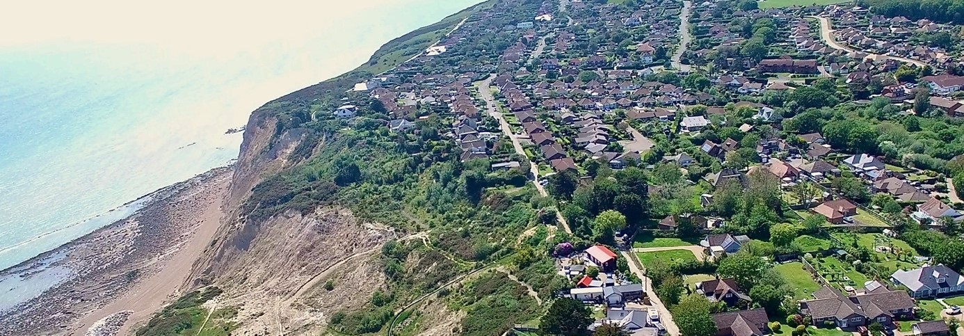
In 2021 Isle of Wight-based consultancy, Coastal & Geotechnical Services (C&G Services), was appointed by Rother District Council to investigate the challenges arising from coastal instability affecting the village of Fairlight near Hastings, East Sussex. Here the community has experienced ongoing problems ongoing problems that have led to a number of properties being lost as a result of cliff retreat.
Recognising the potential for further erosion and instability the Council sought advice from C&G Services on the need to introduce more restrictive local planning policies in the village, aimed at preventing inappropriate development that might otherwise have adverse impacts on land stability. As a result, the Council has made two Article 4 Directions, which reduce permitted development rights on some land and properties adjacent to the coast.
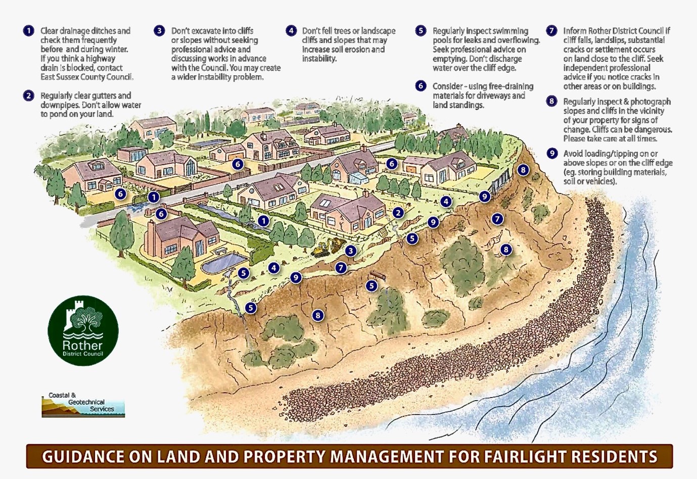
In addition, C&G Services has prepared guidance for the Council and village residents on how homeowners may be able to reduce their own risks through practical land and property management measures.
Further details on these studies and the homeowners guide can be accessed via the links below:
Article 4 Directions at Fairlight Cove
Article 4 Directions at Fairlight Cove - Advice to Homeowners
ART IN SUPPORT OF IMPROVED UNDERSTANDING OF CHANGING COASTAL ENVIRONMENTS
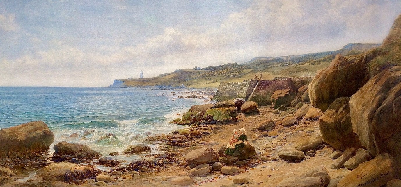
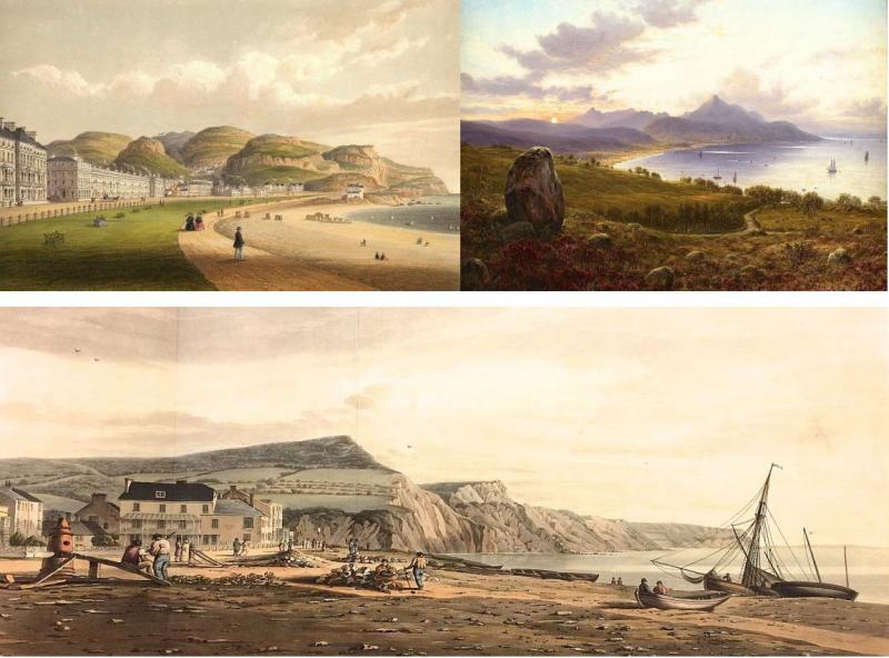
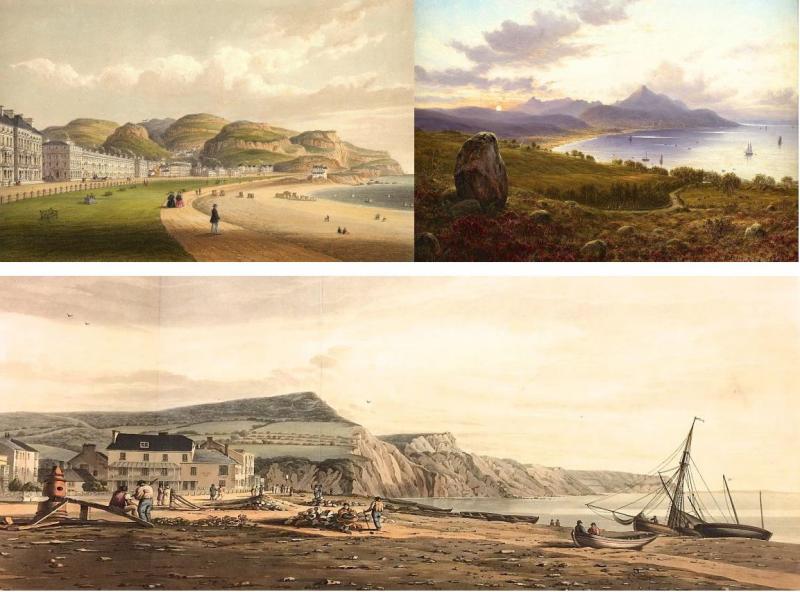
Samuel McCloy 'On the Coast near St Catherine's Point, Isle of Wight' 1878
What lessons can we learn from observations of changes that have affected England's coastal environments over the last 250 years? How and to what extent have our coastal landscapes been affected by both natural and human influences over that time? Sophisticated technologies now allow us to observe and monitor changing conditions within our coastal zones, but such innovative approaches have been introduced relatively recently, and there are few locations where systematic monitoring has been undertaken for more than thirty years.
Alongside these tools we can now also take particular advantage of a vast additional resource of historical imagery that is already available online, and which allows a much longer-term perspective to be gained of all aspects of coastal change. Such insight can better inform future planning and management of environmentally sensitive coastal frontages.
Using artworks dating back to the 1770s, which have been ranked in terms of their topographical accuracy, Professor Robin McInnes OBE and Chloe Stanford-Clark of Isle of Wight-based consultancy, Coastal and Geotechnical Services, have completed a detailed analysis of this subject working in partnership with Dr Elizabeth Hopley, Senior Specialist in Coastal Geomorphology, at Natural England.
The 260-page report includes over 270 colour artworks across twelve case study sites from around the English coast. The report has just been published by Natural England and can be found at:
https://publications.naturalengland.org.uk/publication/5052271277375488
-
LANDSCAPE ART IN SUPPORT OF RIVER MANAGEMENT IN ENGLAND
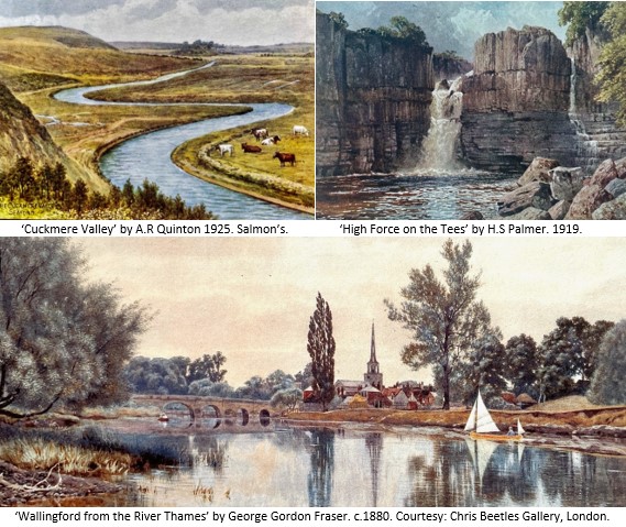
What lessons can we learn from observations of changes that have affected the river systems of England over the last 250 years? How and to what extent have these environments been affected by both natural and anthropogenic influences over that time? Increasingly sophisticated technologies now allow us to observe and monitor changing conditions. However, these tend to be relatively recent innovations and there are few locations across England where river changes have been observed and recorded systematically for more than fifty, or indeed one hundred years.
However, we can now take particular advantage of a vast additional resource of historical art imagery that is available online. Hundreds of thousands of artworks allow a much longer-term perspective to be gained of all aspects of physical and environmental change affecting rivers from source to sea. This new study, commissioned by the Environment Agency from Coastal & Geotechnical Services and partners, bridges the disciplines of science, geography and fine art to improve our understanding of river change through examination of nineteen case study sites across the country. The final study report can be downloaded below:
Case Study 5.3 - Somerset Levels & 5.4 The Dorset Stour;
Case Study 5.5 - Western Yar, 5.6 - Eastern Yar, & 5.7 The Sussex Rother;
Case Study 5.8 - River Arun & 5.9 River Medway;
Case Study 5.10 - River Thames;
Case Study 5.11 - River Great Ouse & 5.12 River Bure;
Case Study 5.13 - River Blyth;
Case Study 5.14 - River Severn;
Case Study 5.16 - River Wharfe, 5.17 - River Ure, 5.18 - River Tees, 5.19 - River Eden;
-
art in support of improved understanding of the changing character of exmoor national park
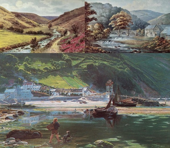

In June 2021 Professor Robin McInnes OBE, Managing Consultant at Coastal & Geotechnical Services, was commissioned by The Exmoor Society, in partnership with the Exmoor National Park Authority, to undertake a study investigating how historical artworks produced since the 1770s can inform understanding of the changing character of the National Park over time; this comprehensive study was completed in November.
About the Study
What lessons can we learn from observations of changes that have affected the landscape and character of Exmoor National Park over the last 250 years? How and to what extent has the National Park been affected by both natural and anthropogenic influences over that time? Alongside technical tools available for monitoring environmental change we can now also take advantage also of a vast additional resource of historical imagery comprising paintings, watercolours and prints spanning the period from 1770–1950 that is becoming increasingly available online, and which allows a much longer-term perspective to be gained of all aspects of change.
Such insight can helpfully inform both future planning and day to day management of environmentally sensitive inland and coastal frontages such as those found within the National Park.
The key study objectives were to inform policy-making and site management by providing an easily accessible art resource tool for use by scientists and practitioners to help inform decisions made by the National Park Authority and partner nature conservation bodies at a range of spatial scales. The findings support nature-based solutions to coastal and countryside management problems by drawing on artistic evidence of historical management practices, and more widely supporting ecosystem services, increased biodiversity and green recovery;
The study also provides a new, non-technical community engagement and educational tool that can easily illustrate processes of landscape change within the National Park and the challenges this can present over time. The results of this study will be of value to a range of organisations and individuals that have an interest in sustainable environmental management, planning, cultural heritage and nature conservation.
The Final Study Report can be viewed and downloaded at https://www.exmoorsociety.com or click on the sections below.
-
Coastal Erosion and climate change - Guidance for policymakers, planners and stakeholders
Jacobs has just published (Aug 2021) guidance on Coastal Erosion and Climate Change co-authored by Professor Roger Moore of Jacobs and Professor Robin McInnes OBE of Coastal & Geotechnical Services, with contributions from external associates and Jacob's colleagues.
Following the recent publication of the IPCC Climate Report (AR6, 2021), projections reveal global sea level is rising and could add +2.5m to current levels by 2100. Extreme weather and storms are also increasing. These changes are causing severe impacts at the coast including nuisance flooding, erosion and shoreline transgression. The impacts and losses can be catastrophic and whilst coastal defences can protect assets for a limited time they commit authorities and private owners to rising cost for maintenance, repairs and renewals.
Professor Moore has been working alongside Professor Robin McInnes OBE on the preparation and illustration of guidance on coastal erosion and climate change. Our guide looks at the implications of future climate change, sea-level rise and coastal erosion risks to global communities and infrastructure. It demonstrates that strategic coastal planning, management and adaptation are key to mitigating future losses and ensuring that coastal development, communities and infrastructure are resilient and sustainable in the long-term.
This 86-page illustrated, non-technical guide summaries Jacobs' domain expertise in coastal planning and managment aimed at government authorities, communities, developers and stakeholders; aligned to Jacobs' promise to create a more connected, sustainable world.
If you're interested in reading about several high-profile UK and international case studies, examples of the lessons learnt and successful approaches to sustainable coastal planning, management and adaptation from Jacobs' worldwide experience over the past three decades, then make sure you read it here:
www.jacobs.com/sites/default/files/content/file-uploads/CECCGfP_final.pdf
-
STATE OF THE BRITISH COAST
A new year long study of the coastline of mainland Great Britain is commencing in June 2018. See Newsletter No. 1 below and download the Study Brief and information on 'The Watercolour World' project.
Click here to view 'State of the British Coast' Study Newsletter No. 1.
Click here to view 'State of the British Coast' Project Brief.
Click here to view 'The Watercolour World' Project Synopsis.
-
STATE OF THE BRITISH COAST - FINAL REPORT
The Technical Report prepared for this year-long study by Professor Robin McInnes OBE and Chloe Stanford-Clark MSc. can be downloaded below, along with poster 7 of the seven A1 colour posters that accompany the report; posters 1-6 are available upon request.
Click the links below:
Case Study 1 - North-East England
Case Studies 3 & 4 - South-East and Central Southern England
Case Study 5 - South-West England Part 1
Case Study 5 - South-West England Part 2
Case Study 6 - North-West England
Case Study 8 - Scotland West Coast
Case Studies 9 & 10 - Scotland North & East Coasts
-
COASTAL HERITAGE AT RISK
In January 2016 Historic England commissioned Coastal & Geotechnical Services to undertake a new study, CHeRISH (Coastal Heritage Risk - Imagery in Support of Heritage Management), which demonstrates how artworks, photographs and postcards from the period 1770-1950 can support the management of vulnerable sites on the coastlines of south-west England. The great strength of this imagery is its ability to illustrate in detail changes that have affected coastal heritage sites over a greatly extended time period.
A Threatened Coastal Heritage
The character of the coastline of south-west England has been influenced strongly by human activity over the last 10,000 years. A rich legacy of buildings and sites has resulted, including archaeological remains, military and coastal defences, harbour walls, monuments, lighthouses and piers. Collectively such features form the coastal historical environment. Particularly where the rocks are soft or the coastline unstable, such sites are becoming increasingly affected by marine erosion, landslides, flooding and the impacts of climate change.
Long stretches of coast, containing a wide variety of sites, are undergoing rapid change. For example, sections of the coastlines of Dorset and south Devon with their soft rocks (for example east of Weymouth, near Lyme Regis, and Sidmouth), are eroding rapidly. Even sections of harder-rock clifflines, as between Hartland Point and Westward Ho! on the north Devon coast, can experience retreats of up to 50m in a single event. The settlements of Ilfracombe, Combe Martin, Lynmouth and Porlock are also at greater risk from flooding than they have been in the past. Indeed, the increasing ferocity of coastal storms is, over the next century, likely to have a visible impact on such Cornish harbours as Mullion, Charlestown and Mevagissey, as well as on exposed Cornish headlands, often the sites of promontory forts. Iconic heritage sites whose setting and future are at risk include the gun battery on the shoreline below Pendennis Castle, parts of Tintagel Castle on the north Cornwall coast, the causeway leading to St Michael's Mount in Cornwall, and the Garrison on St Mary's, Isle of Scilly.
Managing risks
This increased rapidity of change has driven developments in Government policy. It is vital that such policies give the same weight to sustaining the historic environment as they do to protection of people, property and the natural environment.
Historic England and its predecessorts have been active participants in this process, whether through publications (Murphy, 2014 and many others), policies regarding historic environment records, or the rapid coastal zone assessment surveys which have been carried out since the late 1990s.
As a result, a range of tools is available to support understanding of coastal change and its impacts. However, there are few locations where accurate records of coastal change exist before the middle of the 20th century; indeed, aerial photography for much of the coastline only dates from the early 1940s. However, other images can improve our understanding of long-term coastal change and the resulting risks to some heritage assets. Paintings, watercolours, photographs and old postcards allow recognition of the scale and rate of coastal change over a much longer time frame than is normally considered by coastal scientists, planners and engineers. Such media enable assessments to be made of changes in morphology, land-use and development over the last 250 years, extending back long before the days of photography.
The CHeRISH project
The project reveals the potential of these images to provide information that can support the protection and management of historic sites around the coastline of south-west England. This has been achieved by identifying and assessing a large number of sites at risk or potentially at risk, as indicated in shoreline management plans, local and national historic environment records, and rapid coastal zone assessments. Imagery relating to these sites has been gathered and 23 case studies selected, illustrating how such historical images can support site management. CHeRISH has provided a list of artists who painted England's south-west coast, ranking their work in terms of its accuracy, so as to maximise the value of each image in support of the management of the historic environment.
The CHeRISH Final Report includes nearly 300 images (artworks and photographs) of heritage sites around the coastlines of Somerset, Dorset, Devon and Cornwall. Such illustrations can inform us of past conditions and, when compared with the site today, highlight changes that have taken place over time. The Final Report can be downloaded at http://cherish.maritimearchaeologytrust.org where an interactive map illustrating examples of artworks from across south-west England can be viewed. A series of illustrated lectures are also being planned at suitable locations over the coming months.
The CHeRISH project recommends that full advantage is taken of artworks and other images that depict the historic environment. These resources are underused as a record of change. The project guides readers to such images; it is hoped that the result will be invaluable.
The Final Report can be viewed here:
Click here to view the Main Report.
Click here to view Case Studies 1-14.
Click here to view Case Studies 15-23 & Analysis.
Click here to view Guidance, Conclusions & Recommendations.
Click here to view the Appendices.
-
HISTORIC WATERCOURSES
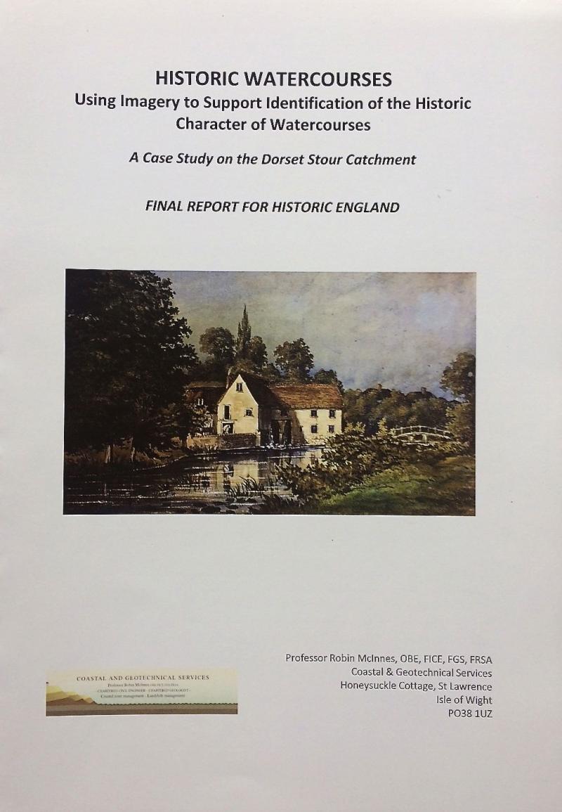 This report is now available.
Click here to view the Final Report.
Click here to view the Case Studies.
Click here to view the Analysis, Conclusions, Recommendations & Appendices.
HISTORIC WATERCOURSES
Click here to view Newsletter No. 1. October 2017
-
INSTITUTION OF CIVIL ENGINEERS COASTAL MANAGEMENT CONFERENCE, AMSTERDAM, SEPTEMBER 2015
The 8th ICE Coastal Management Conference will be held in Amsterdam, Netherlands, from 7th-9th September. Taking place every four years the conference series brings together engineers, scientists and coastal management professionals from across the world. The event is renowned for its focus on current issues, research and practical applications. See www.ice.org.uk/events.
INTERNATIONAL ASSOCIATION OF ENGINEERING GEOLOGY CONGRESS IAEG XII TURIN 2014
Professor Robin McInnes of Coastal & Geotechnical Services and Professor Roger Moore of CH2MHILL attended the IAEG 50th Anniversary Congress in Turin, Italy, in September 2014 in order to launch their new publication 'Living with Ground Instability and Landslides - An International Good Practice Guide'.
The guide was commissioned from Coastal & Geotechnical Services by CH2MHLL and has been endorsed by the United Nations International Strategy for Disaster Reduction in Geneva. The comprehensively illustrated guide will now be distributed to stakeholders with an interest in ground instability and landslides across the world. At the IAEG conference the guide was commended to the conference by Professor Scott Burns, Professor of Geology at Portland State University, USA.
For more information, contact rgmcinnes@btinternet.com or visit www.coastalandgeotechnicalservices.com.
-
SOUTHERN ENGLAND LOCAL PARTNERSHIP EUROPEAN CONGRESS UNIVERSITY OF PORTSMOUTH 2014
On 9th September Southern England Local Partners (SELP), the EU affairs network for Southern England, held its 8th Annual European Congress, which was hosted by the Centre for European and International Studies Research at the University of Portsmouth. The event brough together 50 representatives from local authorities, universities, businesses and Local Enterprise Partnerships (LEPs) all interested in enhancing understanding of the European dimension of their work.
Professor Robin McInnes OBE of Coastal & Geotechnical Services was invited to join the panel of experts for a plenary session and lively debate covering a broad range of topics including the forthcoming Interreg V Programme and working with EU partners to encourage the strengthening of the UK's influence in pursuing national interests on the global stage.

-
launch of the interreg iv 2seas programme project arch-manche
With financial support from the EU INterreg Programme the Arch-Manche project, which was led by the Hampshire & Wight Trust for Maritime Archaeology, was launched in Southampton on 22nd August 2014. The project sought to advance our understanding of the scale and rate of long-term coastal change by assessing a range of potential, currently under-used resources including archaeology, palaeo-environmental data, works of art, maps, photographs, was well as historical literature accounts.
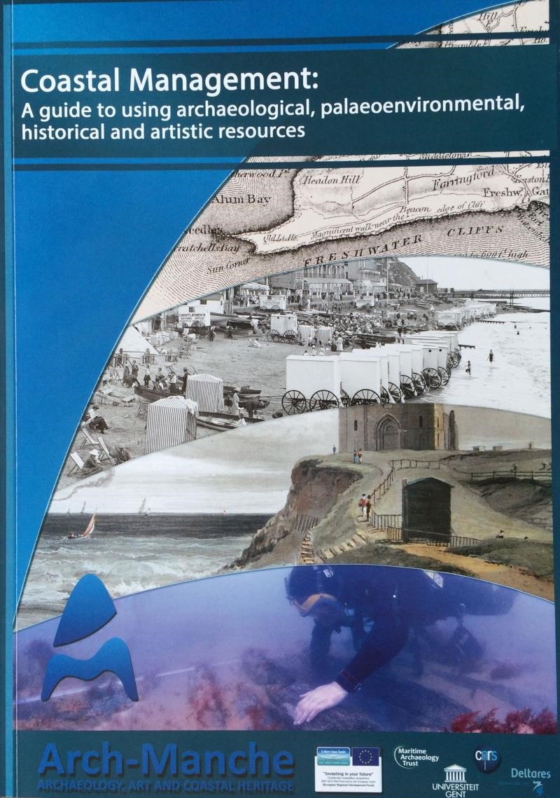 Working with partners in France, Belgium and the Netherlands the project outputs included the ranking of a large dataset of historical images to assess their value in supporting understanding of coastal change. In addition the project delivered a specialist database and linked GIS analysis to further develop understanding in this area.
 The assessment and interpretation of historical artworks was undertaken by Coastal & Geotechnical Services on behalf of the Hampshire & Wight Trust.
For more information visit www.archmanche.hwtma.org.uk.
-
new guide to cliff erosion and instability management in great britain
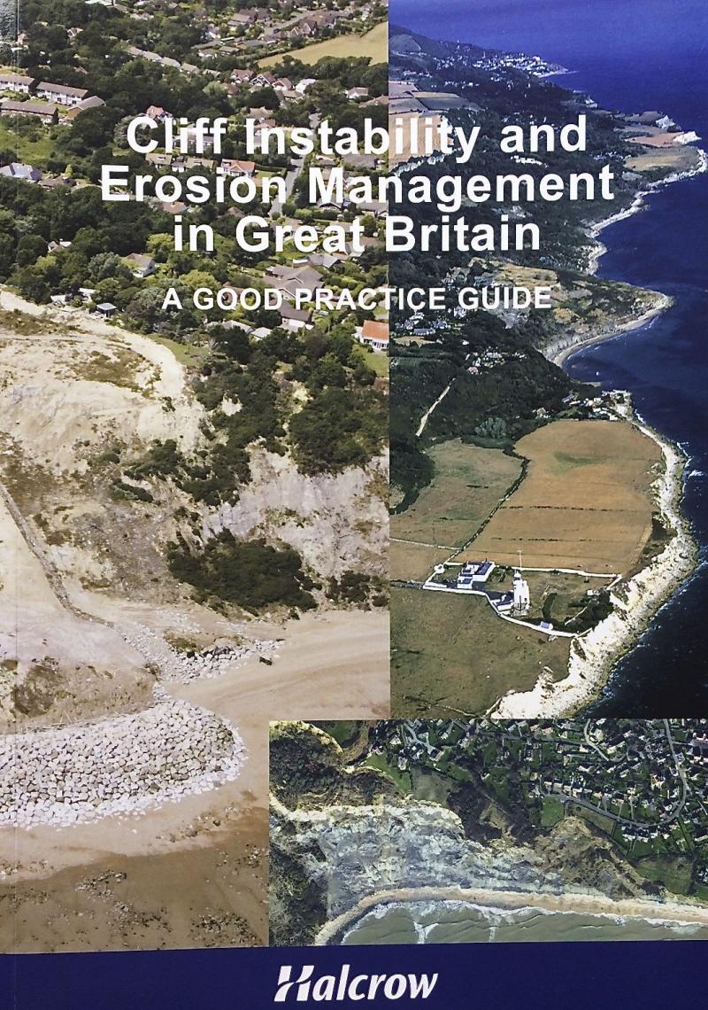 A new eighty-eight page guide entitled 'Cliff erosion and instability management in Great Britain - a good practice guide' was published in November 2012. The well illustrated guide, which was sponsored by Halcrow and Coastal & Geotechnical Services, was written by Professor Robin McInnes OBE and Professor Roger Moore.
The Guide aims to provide practitioners and decision-makers with a useful summary account of the issues and administerative framework for cliff instability and erosion management in Great Britain. The Guide builds on the lessons learnt from the past and from specific casework performed by Halcrow and Coastal & Geotechnical Services in recent decades. Case study examples from the UK and overseas illustrate success stories as well as best practice.
The Guide has been launched at regional meetings hosted by the Coastal Groups of England and Wales as well as at the Institution of Civil Engineers Coastal Management Conference held recently in Belfast.It will be launched to the international community at the Inbternational Symposium on Landslides in Banff, Canada in June 2012. Copies of the report can be obtained from Coastal & Geotechnical Services.
-
SCOPAC report 'ACCESS - Adapting to Coastal Change along England's Southern Shoreline'
Coastal communities along the south coast of England are on the front line in terms of climate change impacts. Assessments of assets at risk from erosion and instability along the SCOPAC coastline over the last ten years, together with the research into the predicted impacts of climate change, have highlighted the need for more refined assessments to be made of coastal erosion risk, the value of assets currently and potentially at risk and the opportunities for adaptation to the impacts of climate change, looking ahead over the next one hundred years. SCOPAC believes that with this additional information the Operating Authorities and related interests will be significantly better informed in terms of planning and managing coastal risks and, as a result, more capable of addressing the resulting demands in the future.
The SCOPAC 'ACCESS’ study, drawing on case study findings, recommends actions to be implemented to address future assessments of ‘coastal risk hotspots’ along the south coast, supported by recommendations for a more equitable system for valuing assets at risk from coastal erosion and land instability. The study highlights those locations which face particular challenges in terms of coastal risk management, looking ahead over the next century drawing on the best available coastal research.
Following the launch of the 'ACCESS' report at the SCOPAC (Standing Conference On Problems Associated with the Coastline) conference event at the National Oceanography Centre, University of Southampton in November 2011 copies of the report are now available. The sixty-four page, well illustrated report illustrates approaches to adaptation to coastal climate change through examination of eleven coastal change 'hotspots' along the coastal frontage between West Dorset and West Sussex (www.scopac.org.uk).
-
sponsorship for ‘Art and coastal change in East Anglia’ study published
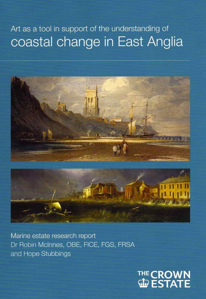 This study of art and coastal change along the dynamic, soft cliff and low-lying coastal frontages of East Anglia was sponsored by The Crown Estate following research by Coastal & Geotechnical Services in 2009/10.
The report illustrates, through a series of case studies, how art can be used to establish a chronology of coastal change over time (1770-1940) as well as providing a list of those artists who depicted the East Anglian coast most accurately.
The report can be downloaded from the following website: ttp://www.thecrownestate.co.uk/mrf_general_studies
-
ART AS A TOOL TO ASSIST UNDERSTANDING OF LONG-TERM COASTAL CHANGE IN HAMPSHIRE AND THE ISLE OF WIGHT [2008]
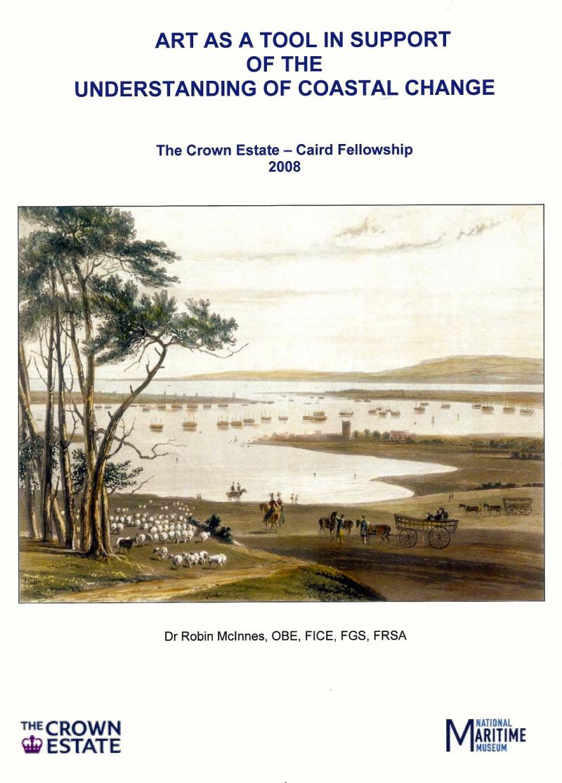 Coastal scientists and managers have a range of tools to assist them in understanding our changing coasts. However, many of these technologies have been introduced relatively recently and do not yet provide a long-term record of coastal change.
In 2008, Professor Robin McInnes was awarded The Crown estate - Caird Fellowship, which examined the subject of art and coastal change along the coastlines of Hampshire and the Isle of Wight. The results of the research offer the opportunity for those involved in coastal management to take advantage of the wisdom of hindsight to look back over the last 200 years and understand how these coastlines have been affected by natural processes as well as human activity.
As part of the study a methodology was developed to test the accuracy of artworks thereby allowing a shortlist to be developed of those landscape painters who can be relied upon in terms of the quality of their works over time.
The report can be downloaded from: http://www.thecrownestate.co.uk/mrf_general_studies
THE CROWN ESTATE - CAIRD FELLOWSHIP 2008 AWARDED TO DR ROBIN MCINNES
The Crown Estate – Caird Fellowship 2008 was awarded to Dr Robin McInnes OBE for a study of ‘How Art (1770-1920) can Assist our Understanding of Long-term Coastal Change’, to cover a study area comprising the coastlines of Hampshire and the Isle of Wight. The Fellowship was funded jointly by The Crown Estate and the National Maritime Museum, Greenwich.
This pilot study involved the development of a ranking system to identify which artists and their works provide the most accurate representation of coastal conditions over the time-frame.
ART AND COASTAL CHANGE IN EAST ANGLIA
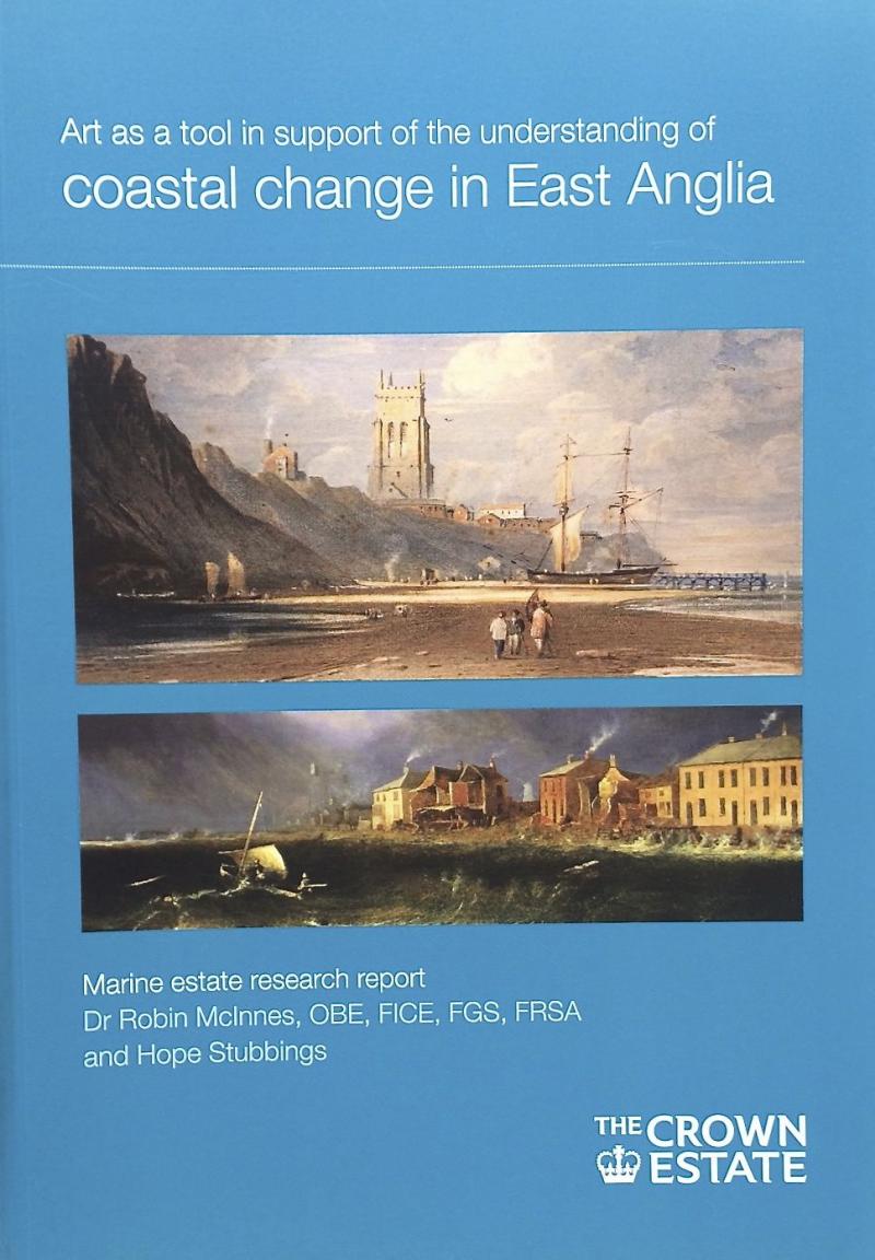 Following the very successful launch events in Ipswich, Southwold and Aldeburgh in Suffolk, The Crown Estate sponsored guide to 'Art and coastal change in East Anglia' will be launched in Norfolk at a conference in Norwich in the Spring. Professor Robin McInnes OBE, the author of the report, will be presenting the findings at the 'Art and the sea conference' at the University of East Anglia Sainsbury Centre on Saturday 31st March. The report can be viewed and downloaded from The Crown Estate website at http://www.thecrownestate.co.uk_general_studies
A COASTAL HISTORICAL RESOURCES GUIDE FOR ENGLAND
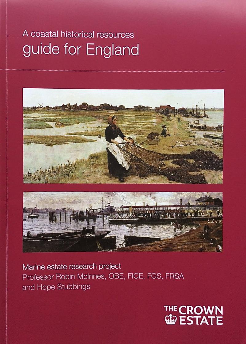 The 'Coastal Historical Resources Guide for England', which was sponsored by The Crown Estate, has been disseminated through a series of regional presentations to coastal users following the launch event at the 'Coastal Futures' conference in London last year. In addition, copies of the Guide have been sent to coastal local authorities, museums, galleries, records offices and other stakeholders. The final report can be viewed and downloaded from The Crown Estate website at http://www.thecrownestate.co.uk/mrf_general_studies
 -
art and coastal change in scotland commissioned by the crown estate
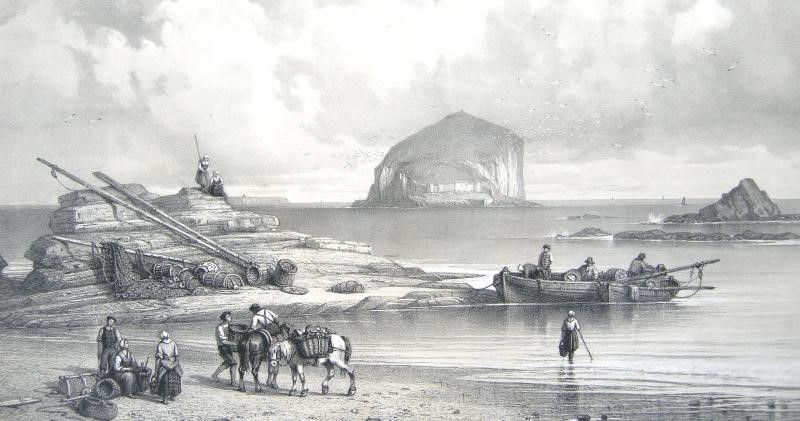
The Crown Estate has commissioned Professor Robin McInnes of Coastal & Geotechnical Services to undertake a study into how historical works of art (landscape paintings, drawings and prints from 1770-1920) can assist understanding of long-term coastal change in Scotland. The study follows the publication by The Crown Estate of ‘A Coastal Historical Resources Guide for England’ in 2011 and two regional studies of the East Anglian coast in 2010 and the Hampshire and Isle of Wight coasts in 2008; a further study of the coast of Wales is also underway. The study is being undertaken by Professor McInnes and art historian, Sarah Benstead FRSA. The final report is likely to be published in Summer 2013.
ART AND COASTAL CHANGE IN WALES STUDY COMMISSED BY THE CROWN ESTATE
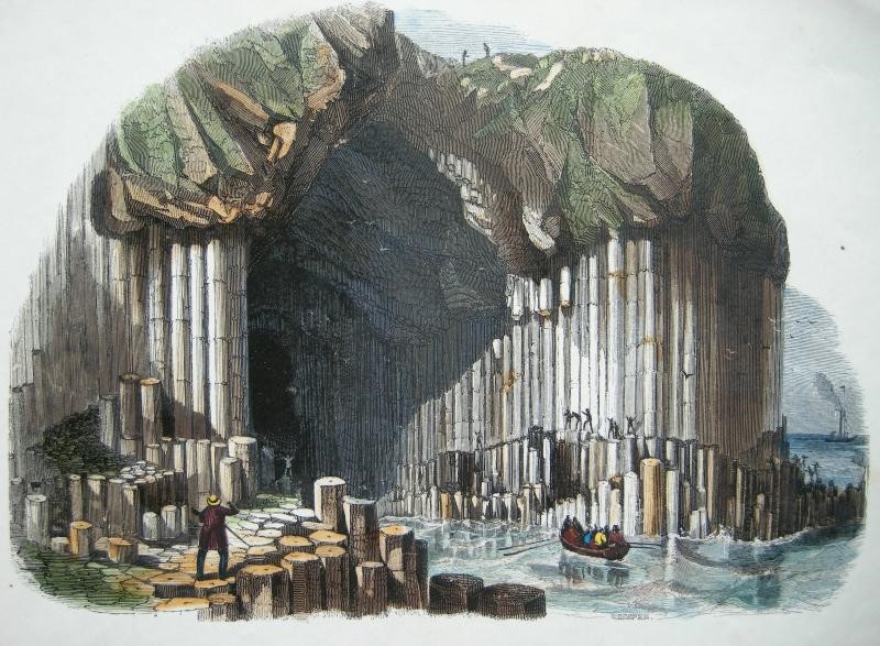
The Crown Estate has commissioned Professor Robin McInnes of Coastal & Geotechnical Services to undertake a study into how historical works of art (landscape paintings, drawings and prints from 1770-1920) can assist understanding of long-term coastal change in Wales. The study follows the publication by The Crown Estate of ‘A Coastal Historical Resources Guide for England’ in 2011 and two regional studies of the East Anglian coast in 2010 and the Hampshire and Isle of Wight coasts in 2008.
The study is being undertaken by Professor McInnes and art historian, Sarah Benstead FRSA. The final report is likely to be published in Spring 2013.
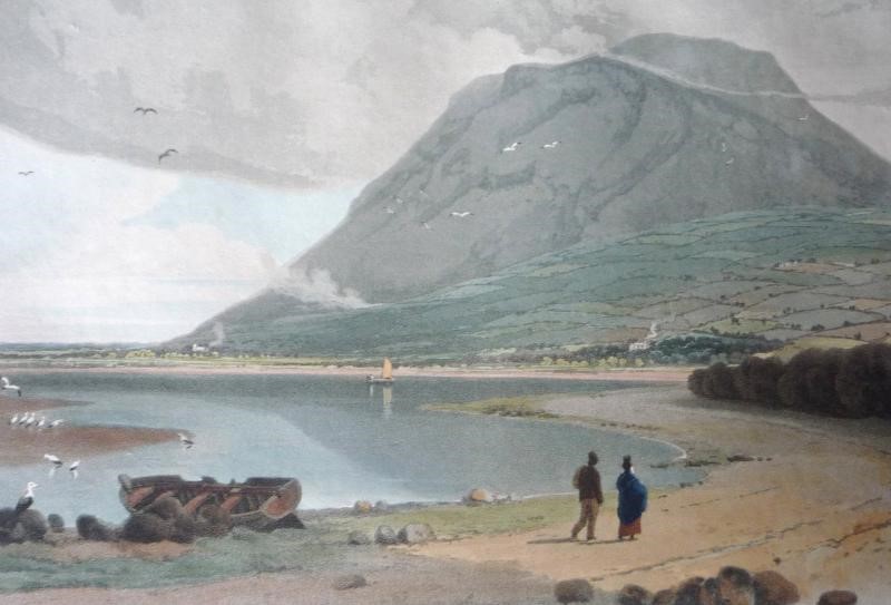
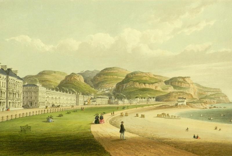
'ART AND COASTAL CHANGE IN NORTHERN IRELAND' STUDY
The Crown Estate has commissioned Professor Robin McInnes of Coastal & Geotechnical Services to undertake a study examining how art can assist understanding of long-term coastal change in Northern Ireland. The study follows the completion of similar reports for East Anglia, England, Wales and Scotland (in press).
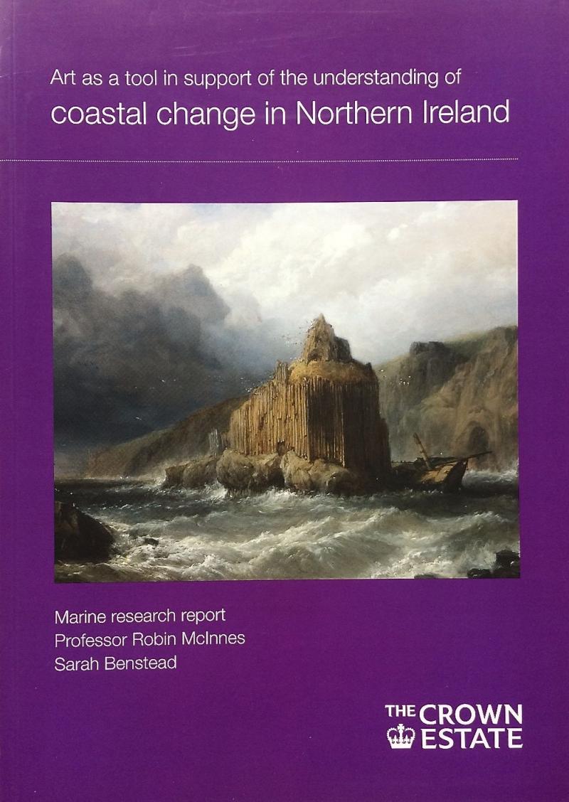 The Study will investigate how historical landscape paintings, watercolour drawings and prints (1770-1920) can support existing technologies in terms of informing us of the rate, scale and pace of coastal change. The study will cover the coastline from Derry, County Londonderry on Lough Foyle in the north-west, along the dramatic Antrim coastline and south to Carlingford Lough.
The study was completed in Autumn 2013. This report and the earlier reports call all be downloaded from The Crown Estate website at www.thecrownestate.co.uk.
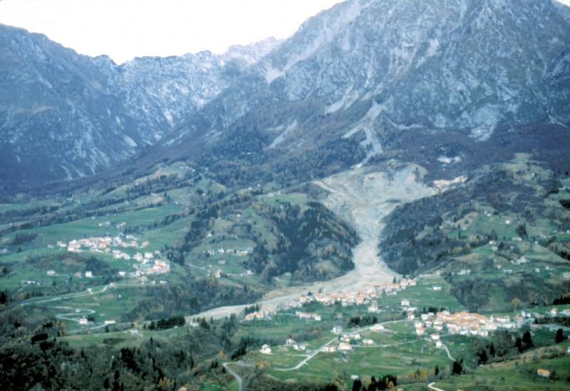
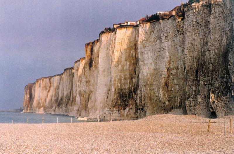
Criel-sur-Mer, Upper Normandy, France
Copyright 2018 Coastal and Geotechnical Services. All rights reserved.
ph: 0044 (0)1983 854865
rgmcinne
